| Chanderi | |
|---|---|
| village | |
 Chanderi  Chanderi | |
| Coordinates: 23°24′51″N77°18′13″E / 23.4142158°N 77.303723°E Coordinates: 23°24′51″N77°18′13″E / 23.4142158°N 77.303723°E | |
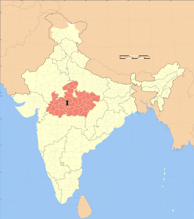
| Country | India |
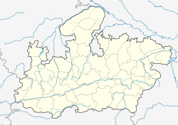
| State | Madhya Pradesh |
| District | Bhopal |
| Tehsil | Huzur |
| Elevation | 539 m (1,768 ft) |
| Population (2011) | |
| • Total | 1,620 |
| Time zone | IST (UTC+5:30) |
| ISO 3166 code | MP-IN |
| 2011 census code | 482374 |
Chanderi is a village in the Bhopal district of Madhya Pradesh, India. It is located in the Huzur tehsil and the Phanda block. [1]
Bhopal District is a district of Madhya Pradesh state in central India. The city of Bhopal serves as its administrative headquarters. The district is part of Bhopal Division.

Madhya Pradesh is a state in central India. Its capital is Bhopal, and the largest city is Indore, with Jabalpur, Gwalior, Ujjain and Sagar being the other major cities. Nicknamed the "Heart of India" due to its geographical location, Madhya Pradesh is the second largest Indian state by area and the fifth largest state by population with over 75 million residents. It borders the states of Uttar Pradesh to the northeast, Chhattisgarh to the southeast, Maharashtra to the south, Gujarat to the west, and Rajasthan to the northwest. Its total area is 308,252 km2. Before 2000, when Chhattisgarh was a part of Madhya Pradesh, Madhya Pradesh was the largest state in India and the distance between the two furthest points inside the state, Singoli and Konta, was 1500 km. Konta is presently in Sukma district of Chhattisgarh state.
A tehsil is an administrative division in some countries of South Asia. It is an area of land with a city or town that serves as its administrative centre, with possible additional towns, and usually a number of villages. The terms in India have replaced earlier geographical terms, such as pargana, pergunnah and thannah, used under Delhi Sultanate and the British Raj.
