| Charlestown | |
|---|---|
 | |
 Charlestown Location within Derbyshire | |
| District | |
| Shire county | |
| Region | |
| Country | England |
| Sovereign state | United Kingdom |
| Post town | Glossop |
| Postcode district | SK13 |
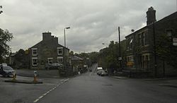
Charlestown is a village in Glossopdale, Derbyshire, England. [1] [2] It is in the Simmondley Ward of the High Peak District Council. The village is situated on the A624 road between Glossop and Hayfield.