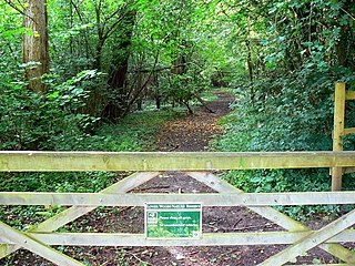
Lower Woods is a 280.1-hectare (692-acre) biological and geological Site of Special Scientific Interest near the village of Wickwar, South Gloucestershire, notified in 1966 and renotified in 1985. The site area has increased at last revision in 1974 to a 284.1-hectare (702-acre) site. The site is a nature reserve managed by the Gloucestershire Wildlife Trust.

Midger is a 65.7-hectare (162-acre) biological Site of Special Scientific Interest straddling the border of Gloucestershire and South Gloucestershire, notified in 1966 and renotified in 1984. Since the last revision in 1974, the size has been reduced to a 56-hectare (140-acre) site. It lies east of Hillesley, Gloucestershire and north of Hawkesbury Upton, South Gloucestershire. It is at the head of the Kilcott Valley.

Strawberry Banks is a 5.06-hectare (12.5-acre) biological Site of Special Scientific Interest in Gloucestershire, notified in 1993.

Dowdeswell Reservoir and former water treatment works lie below the parish of Dowdeswell in Gloucestershire. They were originally built by Cheltenham Corporation to supply the town of Cheltenham with drinking water and subsequently became part of the Severn Trent network.

Wotton Hill is a hill on the edge of the Cotswold Hills in Gloucestershire, England, 0.5 miles (0.80 km) north of Wotton-under-Edge. The Cotswold Way passes over the hill.
Lower Wye Gorge is a 65-hectare (160-acre) biological and geological Site of Special Scientific Interest in Gloucestershire, notified in 1954 and renotified 1987. The site includes two Gloucestershire Wildlife Trust nature reserves being Ban-y-gor Wood and Lancaut. The Natural England citation states a revision for Lancaut inclusion.

Dymock Woods is a 53-hectare (130-acre) biological Site of Special Scientific Interest in Gloucestershire, notified in 1990. The site is listed in the 'Forest of Dean Local Plan Review' as a Key Wildlife Site (KWS).

Hobbs Quarry, Longhope is a 1-hectare (2.5-acre) geological and biological Site of Special Scientific Interest in Gloucestershire, England, notified in 1966. It is situated midway between Longhope and Dursley Cross in the Forest of Dean. Adjacent woods are Kiln Wood and Coleman's Wood. The site is managed by the Gloucestershire Wildlife Trust.

Collinpark Wood is a 66.69-hectare (164.8-acre) biological Site of Special Scientific Interest in Gloucestershire, notified in 1966, revised in 1974 and renotified in 1983. There was a boundary change in 1983. There are seven units of assessment. Unit 1 is a 15-hectare (37-acre) area owned and managed by the Gloucestershire Wildlife Trust. The trust purchased this part of the wood in 1979 with grant aid from WWF. The site is listed in the 'Forest of Dean Local Plan Review' as a Key Wildlife Site (KWS).
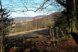
Bull Cross, The Frith and Juniper Hill is a 42.33-hectare (104.6-acre) biological and geological Site of Special Scientific Interest in Gloucestershire, notified in 1954. The site is listed in the ‘Stroud District’ Local Plan, adopted November 2005, Appendix 6 as an SSSI and Regionally Important Geological Site (RIGS).
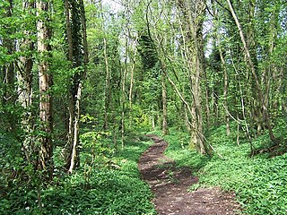
Shorn Cliff And Caswell Woods is a 69.2-hectare (171-acre) biological Site of Special Scientific Interest in Gloucestershire, notified in 1986. The site is listed in the 'Forest of Dean Local Plan Review' as a Key Wildlife Site (KWS).

Lippets Grove is a 5-hectare (12-acre) nature reserve in Gloucestershire. The site was leased from the Forestry Commission in 1987 and is managed by the Gloucestershire Wildlife Trust. The site is listed in the 'Forest of Dean Local Plan Review' as a Key Wildlife Site (KWS).
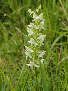
East Wood and is a 0.82-hectare (2.0-acre) nature reserve in Gloucestershire, England. The west site is 0.45-hectare (1.1-acre). The east site is 0.37-hectare (0.91-acre). It is part of a larger area of woodland called East Wood, which is adjacent to Oakhill Wood and Woolaston Wood (east). The site was leased from the Forestry Commission in 1986 and is managed by the Gloucestershire Wildlife Trust. The site is listed in the 'Forest of Dean Local Plan Review' as a Key Wildlife Site (KWS).

Ridley Bottom is a 1.1-hectare (2.7-acre) nature reserve in Gloucestershire. The site is listed in the 'Forest of Dean Local Plan Review' as a Key Wildlife Site (KWS).
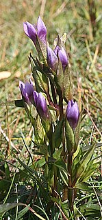
Cutsdean Quarry is a 0.83-hectare (2.1-acre) nature reserve in Gloucestershire. The site is listed in the 'Cotswold District' Local Plan 2001-2011 as a Key Wildlife Site (KWS).
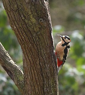
Five Acre Grove is a 5-hectare (12-acre) nature reserve in Gloucestershire. The site is listed in the 'Cotswold District' Local Plan 2001-2011 as a Key Wildlife Site (KWS).

Mythe Railway Nature Reserve is a 2.8-hectare (6.9-acre) nature reserve in Gloucestershire. The site is listed in the ‘Tewkesbury Borough Local Plan to 2011’, adopted March 2006, Appendix 3 'Nature Conservation',' as a Key Wildlife Site (KWS).
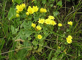
Snows Farm Nature Reserve is a 21.3-hectare (53-acre) nature reserve in Gloucestershire. The site is listed in the ‘Stroud District’ Local Plan, adopted November 2005, Appendix 6 as a Key Wildlife Site (KWS).

Three Groves Wood is a 3.3-hectare (8.2-acre) nature reserve in Gloucestershire. The site is listed in the ‘Stroud District’ Local Plan, adopted November 2005, Appendix 6 as a Key Wildlife Site (KWS).
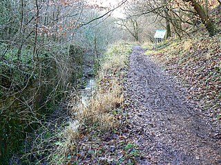
Siccaridge Wood is a 26.6-hectare (66-acre) nature reserve in Gloucestershire. The site is listed in the ‘Stroud District’ Local Plan, adopted November 2005, Appendix 6 as a Key Wildlife Site (KWS).


