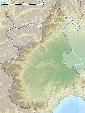
A massif is a principal mountain mass, such as a compact portion of a mountain range, containing one or more summits. In mountaineering literature, a massif is frequently used to denote the main mass of an individual mountain.
Valdieri is a comune (municipality) in the Province of Cuneo in the Italian region Piedmont, located about 90 kilometres (56 mi) southwest of Turin and about 15 kilometres (9 mi) southwest of Cuneo, on the border with France. It is part of the Valle Gesso.
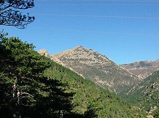
Monte Rama is a mountain in Liguria, northern Italy, part of the Ligurian Apennines.

SOIUSA is a proposal for a new classification system of the Alps from the geographic and toponomastic point of view. It was designed by Sergio Marazzi, Italian researcher and author of the Orographic Atlas of the Alps SOIUSA. His book was presented with the patronage of the Italian Alpine Club on 23 Jan 2006, but has yet to receive any formal acceptance.

Cime du Gélas is a 3,143 m high mountain on the boundary between France and Italy. It is part of the Maritime Alps.

Monte Argentera is a mountain in the Maritime Alps, in the province of Cuneo, Piedmont, northern Italy. With an elevation of 3,297 metres (10,817 ft), it is the highest peak in the range.

Enciastraia is a mountain in the Maritime Alps, on the boundary between the province of Cuneo and the French region of Provence-Alpes-Côte-d'Azur.

Rocca dei Tre Vescovi is a mountain in the Maritime Alps, on the boundary between the province of Cuneo and the French region of Provence-Alpes-Côte-d'Azur.

Monte Clapier is a mountain in the Maritime Alps, on the boundary between the province of Cuneo and the French region of Provence-Alpes-Côte-d'Azur.
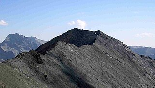
Pointe de Paumont or Cima del Vallone is a mountain of Savoie, France and of the Province of Turin, Italy. It lies in the Cottian Alps range. It has an elevation of 3,171 metres above sea level.

Punta Bagnà or Cime du Grand Vallon is a mountain of Savoie, France and of the Province of Turin, Italy. It lies in the Cottian Alps range. It has an elevation of 3,129 metres above sea level.

Mont Giusalet is a mountain in the Ambin group of the Cottian Alps in Savoie, France, near the Italian border.
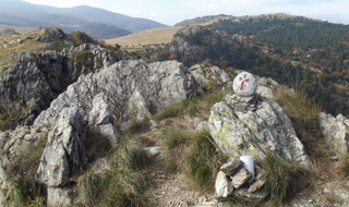
Cima Fontanaccia is a 1153 metres high mountain in the Ligurian Apennines, in Italy.
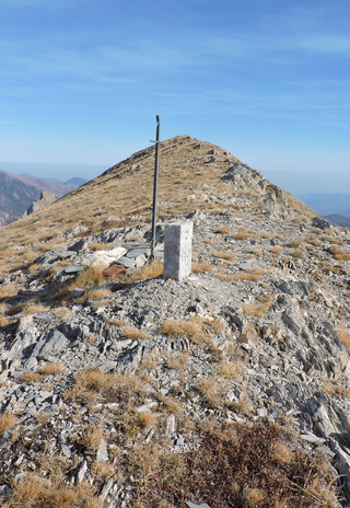
Cima di Pertegà (Italian) or Cime de la Pertègue (French) is a mountain located on the French-Italian border between Piemonte and Provence-Alpes-Côte d'Azur.

Monte Alpesisa is a 989 metres high mountain in the Ligurian Apennines, in Italy.

The Cima Mongioia or simply Mongioia or Bric de Rubren is a 3,340 metres high mountain of the Cottian Alps.

Monte Bertrand (Italian) or Mont Bertrand (French) is a mountain located on the French-Italian border between Piemonte and Provence-Alpes-Côte d'Azur.

Monte Peso Grande o Castell'Ermo (1.092 m) is a mountain of the Ligurian Prealps, the eastern section of the Ligurian Alps.
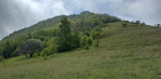
The Monte Alpe is a mountain of the Ligurian Prealps, the eastern section of the Ligurian Alps.
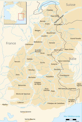
The Nice Prealps are a massif in the southern part of the French Prealps located mainly in the south-east of the French department of Alpes-Maritimes and, for a very small part, in the Italian region of Liguria between the Roya river and the Franco-Italian border.
