Dimminsdale is a 37 hectare geological biological and Site of Special Scientific Interest partly in Derbyshire and partly in Leicestershire. It is located east of Calke in Derbyshire. It is a Geological Conservation Review site, and a area of 23.5 hectares is owned by Severn Trent Water and managed by the Leicestershire and Rutland Wildlife Trust.
Launde Big Wood is a 41.1 hectares biological Site of Special Scientific Interest east of Leicester. It is part of Launde Woods nature reserve, which is owned by the Leicester Diocesan Board of Finance and managed by the Leicestershire and Rutland Wildlife Trust.
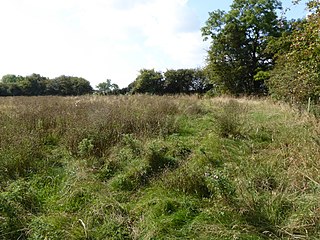
Loughborough Meadows is a 60.5 hectares biological Site of Special Scientific Interest on the northern outskirts of Loughborough in Leicestershire. An area of 35.3 hectares is managed as a nature reserve by the Leicestershire and Rutland Wildlife Trust.

Aylestone Meadows is an 8.8 hectare Local Nature Reserve in Leicester. It is owned and managed by Leicester City Council.
Cribb's Meadow is a 4.2 hectare nature reserve east of Wymondham in Leicestershire. It is owned and managed by the Leicestershire and Rutland Wildlife Trust, and is designated a biological Site of Special Scientific Interest under the name Cribb's Lodge Meadows. It is also a National Nature Reserve and a Nature Conservation Review site, Grade 2.
Merry's Meadows is a 12.4 hectare nature reserve west of Streeton in Rutland. It is managed by the Leicestershire and Rutland Wildlife Trust, and is a biological Site of Special Scientific Interest under the name Greetham Meadows.
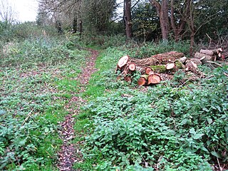
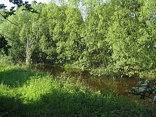
Narborough Bog is an 8.5 hectare biological Site of Special Scientific Interest east of Narborough in Leicestershire. It is owned and managed by the Leicestershire and Rutland Wildlife Trust.

Wymeswold Meadows is a 4.5 hectare nature reserve east of Wymeswold in Leicestershire. It is owned and managed by the Leicestershire and Rutland Wildlife Trust.
Croft Pasture is a 6.2 hectare biological Site of Special Scientific Interest on the outskirts of Croft in Leicestershire. Most of the site, totalling 5.8 hectares, is owned and managed by the Leicestershire and Rutland Wildlife Trust.

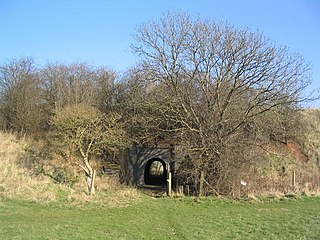
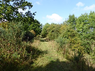
Tilton Cutting is a 4.4 hectares geological Site of Special Scientific Interest west of Tilton on the Hill in Leicestershire. It is a Geological Conservation Review site, and is owned and managed by the Leicestershire and Rutland Wildlife Trust as Tilton Railway Cutting.

Kelham Bridge is a 8.1 hectares nature reserve north of Ibstock in Leicestershire. It is owned and managed by the Leicestershire and Rutland Wildlife Trust.
Wymondham Rough is a 6.0 hectares biological Site of Special Scientific Interest (SSSI) east of Stapleford in Leicestershire. The SSSI is part of the 12.5 hectare Wymondham Rough nature reserve, which is managed by the Leicestershire and Rutland Wildlife Trust.

Wanlip Meadows is a 16.2 hectares nature reserve south of Wanlip and north of Leicester. It is owned and managed by the Leicestershire and Rutland Wildlife Trust.

Mountsorrel Meadows is a 12.6-hectare (31-acre) nature reserve on the eastern outskirts of Mountsorrel in Leicestershire. It is purchased by the Leicestershire and Rutland Wildlife Trust in 2004.

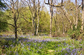
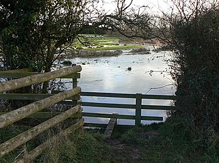
Ulverscroft Valley is a 110.8 hectares biological Site of Special Scientific Interest north-west of Markfield in Leicestershire. The site is in five separate blocks, and two areas are nature reserves managed by the Leicestershire and Rutland Wildlife Trust (LRWT). Lea Meadows is owned by the LRWT and it is also a Scheduled Monument. Part of Ulverscroft Nature Reserve is owned by the LRWT and part is owned by the National Trust and leased to the LRWT.
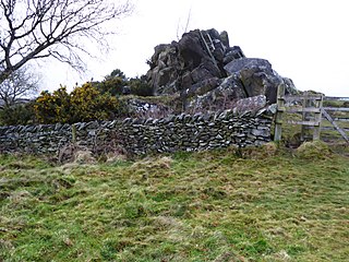
Altar Stones is a 3.7-hectare (9.1-acre) nature reserve in Markfield in Leicestershire. It is owned and managed by the Leicestershire and Rutland Wildlife Trust.

Lea Meadows is a 12-hectare (30-acre) nature reserve east of Markfield in Leicestershire. It is owned and managed by the Leicestershire and Rutland Wildlife Trust. It is part of the Ulverscroft Valley, which is a Site of Special Scientific Interest, and part of it is a Scheduled Monument.
Rocky Plantation is a 3.4-hectare (8.4-acre) nature reserve north of Markfield in Leicestershire. It is owned by the National Trust and managed by the Leicestershire and Rutland Wildlife Trust.

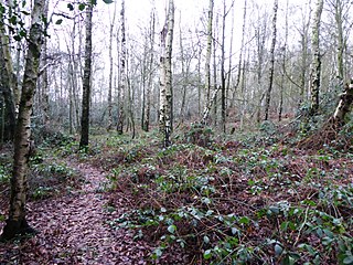
Ulverscroft is a 56-hectare (140-acre) nature reserve north of Markfield in Leicestershire, England. It is managed by the Leicestershire and Rutland Wildlife Trust (LRWT) and part of it is owned by the National Trust and part by the LRWT. The site is partly in Ulverscroft Valley, which is a Site of Special Scientific Interest.