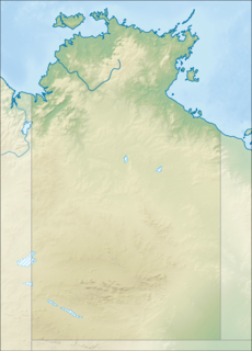
The protected areas of the Northern Territory consists of protected areas managed by the governments of the Northern Territory and Australia and private organisations with a reported total area of 335,527 square kilometres (129,548 sq mi) being 24.8% of the total area of the Northern Territory of Australia.

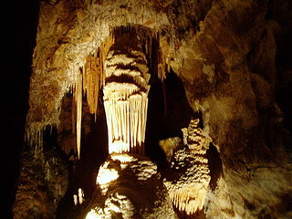
Naracoorte Caves National Park is a national park near Naracoorte in the Limestone Coast tourism region in the south-east of South Australia (Australia). It was officially recognised in 1994 for its extensive fossil record when the site was inscribed on the World Heritage List, along with Riversleigh. The park preserves 6 km² of remnant vegetation, with 26 caves contained within the 3.05 km² World Heritage Area. Out of the 28 known caves in the park, only four are open to the public. Other caves are kept away from the public eye as they are important for scientific research and also for the protection of the caves and their contents. Many of the caves contain spectacular stalactites and stalagmites.

Uluru, also known as Ayers Rock and officially gazetted as Uluru / Ayers Rock, is a large sandstone rock formation in the southern part of the Northern Territory in Australia. It lies 335 km (208 mi) south west of the nearest large town, Alice Springs.

Katherine is a town in the Northern Territory of Australia. It is situated on the Katherine River below the "Top End", 320 kilometres (200 mi) southeast of Darwin. It is the fourth largest settlement in the Territory and is known as the place where "The outback meets the tropics". Katherine had an urban population of approximately 6,300 at the 2016 Census.

Phong Nha-Kẻ Bàng is a national park and UNESCO World Heritage Site in the Bố Trạch and Minh Hóa districts of central Quảng Bình Province in the North Central Coast region of Vietnam, about 500 km south of Hanoi. The park borders the Hin Namno National Park in Khammouane Province, Laos to the west and 42 km east of the South China Sea from its borderline point. Phong Nha-Kẻ Bàng National Park is in a limestone zone of 2,000 km2 in Vietnamese territory and borders another limestone zone of 2,000 km2 of Hin Namno in Laotian territory. The core zone of this national park covers 857.54 km2 and a buffer zone of 1,954 km2.

Florida Caverns State Park is a state park of Florida in the United States, part of the Florida State Parks system. It is located in the Florida Panhandle near Marianna. It is the only Florida state park with air-filled caves accessible to the public.
Formed in 1956, the Australian Speleological Federation Inc. (ASF) is the national body representing those interested in the protection and sustainability of Australia's cave and karst environments. It has approximately 850 members across 28 constituent bodies throughout all Australian states and territories.

The Jenolan Caves are limestone caves located within the Jenolan Karst Conservation Reserve in the Central Tablelands region, west of the Blue Mountains, in Jenolan, Oberon Council, New South Wales, in eastern Australia. The caves and 3,083-hectare (7,620-acre) reserve are situated approximately 175 kilometres (109 mi) west of Sydney, 20 kilometres (12 mi) east of Oberon and 30 kilometres (19 mi) west of Katoomba.

Cuilcagh is a mountain on the border between County Fermanagh and County Cavan. With a height of 665 metres (2,182 ft) it is the highest point in both counties. It is also the 170th highest peak on the island of Ireland, and Ireland's only cross-border county top. Water from the southern slope flows underground until it emerges some miles away in the Shannon Pot, the traditional source of the River Shannon. The area is sometimes referred to as the Cuilcagh Mountains.
The Jawoyn, also written Djauan, are an Australian Aboriginal people living in the Northern Territory of Australia. The Bagala clan are of the Jawoyn people.

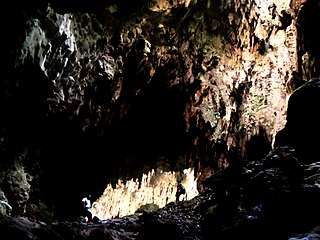
Callao Cave is one of 300 limestone caves located in the Barangays of Magdalo and Quibal in the municipality of Peñablanca, about 24 km (15 mi) northeast of Tuguegarao City, the capital of Cagayan province within the Peñablanca Protected Landscape and Seascape in the western foothills of the Northern Sierra Madre Mountains on Luzon island in the Philippines. The town Peñablanca's name refers to the predominance of white limestone rock formations in the area. First excavated in 1980 by Maharlika Cuevas, the seven-chamber show cave is the best known natural tourist attraction of the Cagayan province and in February 2020 has officially been recognized as an important cultural property of the Philippines.

The Wellington Caves are a group of limestone caves located 8 kilometres (5.0 mi) south of Wellington, New South Wales, Australia.

The Edith Falls is a series of cascading waterfalls and pools on the Edith River in the Nitmiluk National Park, located approximately 60 kilometres (37 mi) north of Katherine, in the Northern Territory of Australia.

Deer Cave, located near Miri, Sarawak, Malaysia, is a show cave attraction of Gunung Mulu National Park. It was surveyed in 1961 by G. E. Wilford of the Malaysian Geological Survey, who predicted that Mulu would yield many more caves in the future. The cave, which is also known as Gua Payau or Gua Rusa by the local Penan and Berawan people, is said to have received its name because of the deer that go there to lick salt-bearing rocks and shelter themselves.

The Lummelunda Cave is located in a nature reserve at Lummelunda north of Visby on Gotland, Sweden. The explored part of this karst cave is almost 4.5 km (2.8 mi), making it one of the longest caves in Sweden. It is created by the drainage water from the Martebo mire. The water forms a stream with its outlet in the Baltic Sea. In the 15th to 19th centuries, mills and an ironwork were set up by the stream.

The Marble Arch Caves Global Geopark straddles the border between Northern Ireland and the Republic of Ireland. It is centred on the Marble Arch Caves and in 2001 it became one of the first geoparks to be designated in Europe.

Gabarnmung is an archaeological and rock art site in south-western Arnhem Land, in the Top End of Australia’s Northern Territory. Habitation of the site has been dated to at least 44,000 years ago, placing it among the oldest radiocarbon dated sites in Australia. The oldest rock art was produced more than 28,000 years ago, making it the oldest securely dated prehistoric art in Australia. The cave was still visited by members of the Jawoyn within living memory, possibly until as late as the 1950s, but its existence had been forgotten until its 2006 rediscovery.

Kintore Caves Conservation Reserve is a protected area in the Northern Territory of Australia.

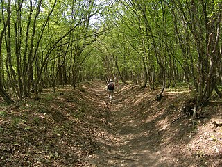
The Shumen Plateau Nature Park is located in the Shumen Plateau of the northern province of Shumen of Bulgaria, the highest plateau of the Danubian Plain. The Park encloses the Bukaka Reserve Forest, which is known for indigenous Fagus sylvatica Fagus sylvaticamoesiaca forest. This Park was declared a National Park in 1980 and a Nature Park in 2003 to conserve its ecosystems and floral and faunal biodiversity, and to preserve its tableland landscape together with many tourist sites such as the Shumen fortress, the Monument to 1300 Years of Bulgaria, cave monasteries, and surface and underground karst caves. The park has the first thematic educational trail in the Karst Nature Park, constructed as part of a project titled "Natural Park of Shumen Plateau" with funds provided by the EU Cohesion Fund and the Republic of Bulgaria; the trail is integral to the Operational Program "Environment 2007–2013".


