| Diamond Hill Reservoir | |
|---|---|
| Pawtucket Upper Reservoir | |
 Diamond Hill Reservoir | |
| Location | Cumberland, Providence County, Rhode Island |
| Coordinates | 41°59′23″N71°23′55″W / 41.9897°N 71.3985°W |
| Type | Reservoir |
| Basin countries | United States |
| Built | 1971 |
| Surface area | 400 acres (160 ha) |
| Water volume | 683,000,000 cu ft (19,340,000 m3) |
| Surface elevation | 200 ft (60 m) [1] |

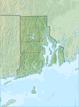
Diamond Hill Reservoir (also known as the Pawtucket Upper Reservoir) is a reservoir in Cumberland, Providence County, Rhode Island near Diamond Hill.
The earthen Diamond Hill Reservoir Dam was constructed in 1971 with a height of 80 feet (24 m), and a length of 2,000 feet (610 m) at its crest. [2] It impounds the Abbott Run waterway for municipal drinking water. Both dam and reservoir are owned and operated by the city of Pawtucket's Water Supply Board.
The reservoir it creates has a normal surface area of 390 acres (160 ha), a maximum capacity of 15,680 acre-feet (19.34 million cubic metres ), and a normal storage of 11,000 acre⋅ft (14 million m3). Immediately adjacent to the south is the Arnold Mills Reservoir.