| Burlingame Reservoir | |
|---|---|
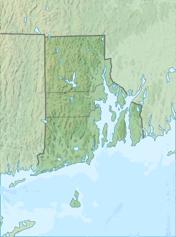 Burlingame Reservoir | |
| Location | Glocester, Providence County, Rhode Island |
| Coordinates | 41°54′51″N71°44′32″W / 41.91417°N 71.74222°W |
| Type | reservoir |
| Basin countries | United States |
| Surface elevation | 594 ft (181 m) [1] |
Burlingame Reservoir is a body of water in Glocester, Providence County, Rhode Island, United States, and is part of the Durfee Hill Management Area.