Dogadi दोगडी | |
|---|---|
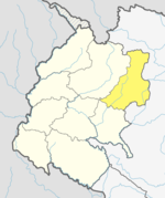
 Dogadi Location in Nepal | |
| Coordinates: 29°26′N81°17′E / 29.43°N 81.28°E | |
| Country | |
| Zone | Seti Zone |
| District | Bajura District |
| Population (1991) | |
• Total | 2,797 |
| • Religions | Hindu |
| Time zone | UTC+5:45 (Nepal Time) |
Dogadi is a village in Bajura District in the Seti Zone of north-western Nepal. At the time of the 1991 Nepal census it had a population of 2,797 and had 511 houses in the village. [1]