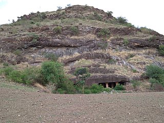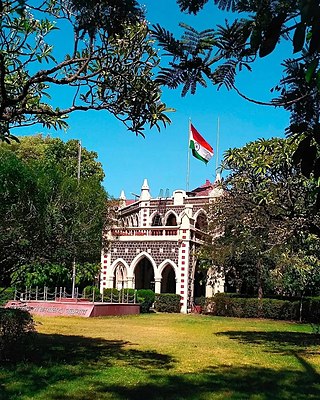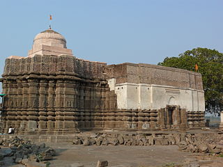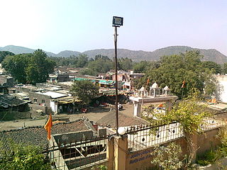
Jalna district is an administrative district in the state of Maharashtra in western India. Jalna town is the district headquarters. The district is part of Aurangabad division.

Bhusawal is a city in Jalgaon district of Maharashtra in India. It is the seat of its eponymous, Bhusawal taluka.

The Purna River is a river of Central and Western India. It is one of the chief tributaries of the Tapti river and empties into it at Changdev in Jalgaon, Maharashtra.

Jalgaon district is a district in Maharashtra, India. Its headquarters is the Jalgaon city.

Muktainagar is a town in Jalgaon district, Maharashtra, India. It is the administrative headquarter of its eponymous taluka. It is located in North Maharashtra region.
Deglur is a city and a municipal council in Nanded district in the state of Maharashtra, India. It is the largest tehsil of Nanded and is known for its socio-cultural history. The town was once part of erstwhile Nizam's Hyderabad state. The town is situated on the river Lendi. Deglur has been known as a marketplace since ancient times. apart from this most of the people from Telangana come to degloor for their essential services specifically for the medical related services.
Nandurbar is a city and a municipal council in Nandurbar district in the Indian state of Maharashtra. Nandurbar municipal corporation is the first municipal corporation. The District Nandurbar was formed from the district Dhule on July 1, 1998. Nandurbar is an administrative district in the northwest corner of of Maharashtra. On 1 July 1998 Dhule was bifurcated as two separate districts now known as Dhule and Nandurbar. The district headquarters is located at Nandurbar city. The district occupies an area of 5034 km2 and has a population of 1,311,709 of which 15.45% is urban. Nandurbar district is bounded to the south and south-east by Dhule district, to the west and north is the state of Gujarat, to the north and north-east is the state of Madhya Pradesh. The northern boundary of the district is defined by the great Narmada river. It came into limelight during February 2006 bird flu crisis which struck many of its poultry farms. Thousand of chickens from the farms had to be killed and buried in nearby grounds to stop the virus spreading.
Jalgaon Jamod is a town in Buldhana district of Indian state of Maharashtra.
Adavad, also spelled Adawad or Adwad, is a village in the Chopda Tehsil of Jalgaon District, Maharashtra, India. It is situated at the southern base of the Satpura Hills, about 30 kilometres northwest of the district seat Jalgaon, and 13 kilometres east of the subdistrict seat Chopda. As of the year 2011, it has a total population of 24,357.
Bodwad is a small town in Jalgaon district of Maharashtra in India. It is the administrative center of the state Maharshtra in Bodwad Taluka.
Varangaon is a town in Jalgaon district of Maharashtra in India. It is situated in Bhusawal taluka.
Raver is a city and municipal council in Jalgaon district in the Indian state of Maharashtra. It is the administrative center of Raver Taluka. Raver is famous for the Bhagvan Dattatreya-temple which is 200 years old and was founded by Sachidanand Swami Maharaj. Built in the old Mughal Kaleen tradition, it also has some ancient photos of Bhagvan Dattreyay in form of Malaang Fakir, Bhagwan Dattreyay's Charan Paduka. It is part of the Khandesh region or North Maharashtra region.
Pashtane is a well-known village in Jalgaon district, India, situated nearly 30 km from Jalgaon and 7 km from Dharangaon a nearest Railway station.

Pal is a village situated in Satpura range on the bank of the Suki River in Raver tehsil in Jalgaon district of Maharashtra state of India.
Kothadi is a village in Muktainagar taluka of Jalgaon district in the state Indian of Maharashtra. Kothadi's name is also written and pronounced as Kothali in Hindi and English. This village is administered by a Gram panchayat.
Ghodasgaon is a village in Muktainagar taluka of Jalgaon district in Maharashtra. It is located near the Purna River in Muktainagar.
North Maharashtra is a geographical region of Maharashtra State, India. The region is composed of Nashik, Dhule, Nandurbar, and Jalgaon districts. It borders the state of Gujarat to the northwest, Paschim Maharashtra to the south, Konkan to the west, and the Vidarbha and Marathwada regions of Maharashtra to the east.
Hartala is a village in Muktainagar taluka of Jalgaon district in Maharashtra, India. It is located near National Highway 53.
Ruikheda is a village in Muktainagar taluka of Jalgaon district in Maharashtra, India.

Changdeva temple is an ancient Hindu temple situated in Muktainagar taluka of Jalgaon district in the state of Maharashtra, India. It is located near its namesake, Changdeva village. The temple is on the shore of the Purna river. It is dedicated to the 12th century Yogi Saint Changdeva Maharaj.


