Eagle Township | |
|---|---|
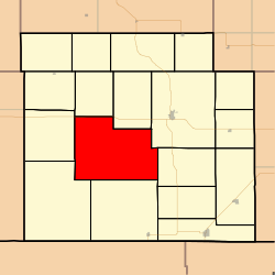 Location in Barber County | |
| Coordinates: 37°12′20″N098°41′16″W / 37.20556°N 98.68778°W | |
| Country | United States |
| State | Kansas |
| County | Barber |
| Area | |
• Total | 111.87 sq mi (289.73 km2) |
| • Land | 111.82 sq mi (289.62 km2) |
| • Water | 0.042 sq mi (0.11 km2) 0.04% |
| Elevation | 1,703 ft (519 m) |
| Population (2000) | |
• Total | 42 |
| • Density | 0.26/sq mi (0.1/km2) |
| GNIS feature ID | 0470475 |
Eagle Township is a township in Barber County, Kansas, United States. As of the 2000 census, its population was 42.
