Elm Mills Township | |
|---|---|
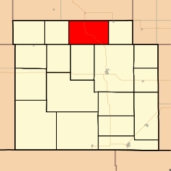 Location in Barber County | |
| Coordinates: 37°25′45″N098°40′01″W / 37.42917°N 98.66694°W | |
| Country | United States |
| State | Kansas |
| County | Barber |
| Area | |
• Total | 59.88 sq mi (155.09 km2) |
| • Land | 59.67 sq mi (154.54 km2) |
| • Water | 0.21 sq mi (0.55 km2) 0.35% |
| Elevation | 1,762 ft (537 m) |
| Population (2000) | |
• Total | 106 |
| • Density | 1.8/sq mi (0.7/km2) |
| GNIS feature ID | 0470380 |
Elm Mills Township is a township in Barber County, Kansas, United States. As of the 2000 census, its population was 106.
