This article has multiple issues. Please help improve it or discuss these issues on the talk page . (Learn how and when to remove these messages)
|
| Egelsee | |
|---|---|
 View to the east with Mirnock massif | |
 Egelsee | |
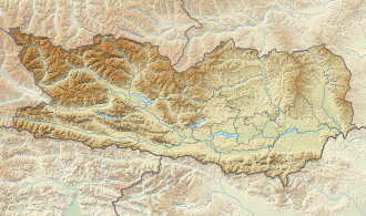
| Location | Carinthia |
| Coordinates | 46°47′03″N13°33′40″E / 46.7842°N 13.5610°E |
| Lake type | mire lake |
| Primary outflows | to Drava River |
| Basin countries | Austria |
| Surface area | 9.35 ha (23.1 acres) |
| Surface elevation | 650 m (2,130 ft) |
Egelsee (formerly also called Ecksee) is a mire lake in Carinthia, Austria. The lake and its environment are part of a protected landscape area. [1]


