
Felch Township is a civil township of Dickinson County in the U.S. state of Michigan, named in honor of Alpheus Felch. The population was 687 at the 2020 census.

West Point is an unincorporated community and census-designated place in Wayne Township, Tippecanoe County, in the U.S. state of Indiana. The population was 594 at the 2010 census.

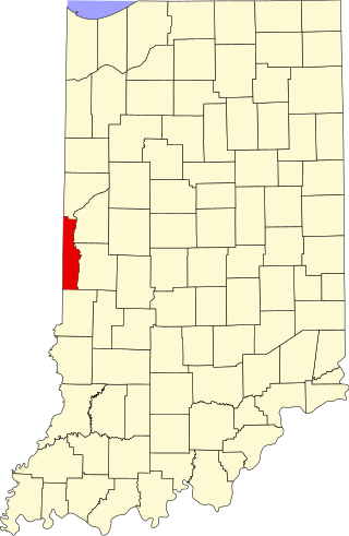
Templeton is an unincorporated community in Bolivar Township, Benton County, in the U.S. state of Indiana. It is part of the Lafayette, Indiana Metropolitan Statistical Area.

Raub is an unincorporated community in York Township, Benton County, in the U.S. state of Indiana. It is part of the Lafayette, Indiana Metropolitan Statistical Area.

Talbot is an unincorporated community in Hickory Grove Township, Benton County, in the U.S. state of Indiana. It is part of the Lafayette, Indiana Metropolitan Statistical Area.

Wadena is an unincorporated community in Union Township, Benton County, in the U.S. state of Indiana. It is part of the Lafayette, Indiana Metropolitan Statistical Area.
Dunnington is a small unincorporated community in Parish Grove Township, Benton County, in the U.S. state of Indiana.

Freeland Park is an unincorporated town in Parish Grove Township, Benton County, in the U.S. state of Indiana. It is part of the Lafayette, Indiana Metropolitan Statistical Area.

Chase is an unincorporated community in Grant Township, Benton County, in the U.S. state of Indiana. Though virtually extinct, Chase still persists on state and county maps and retains a single business in the form of grain elevators operated by Boswell Chase Grain, Inc. A few miles away is the Daughtery Motor Speedway.
Gessie is a small unincorporated community in Highland Township, Vermillion County, in the U.S. state of Indiana.
Highland is an unincorporated community in Helt Township, Vermillion County, in the U.S. state of Indiana.

Highland Township is one of five townships in Vermillion County, Indiana, United States. As of the 2010 census, its population was 1,534 and it contained 724 housing units.

Owensburg is an unincorporated community and census-designated place (CDP) in Jackson Township, Greene County, Indiana, United States. It was named in honor of the Owens family of early settlers. As of the 2010 census it had a population of 406.
Bono is an unincorporated community in Helt Township, Vermillion County, in the U.S. state of Indiana.
Antioch is an unincorporated community in the southwestern part of Wright Township, Greene County, Indiana, United States. It lies near the intersection of County Road 575 North and County Road 500 North, which is a community nearly twenty miles west of the city of Bloomfield, the county seat of Greene County. Its elevation is 531 feet, and it is located at 39°05′55″N87°14′15″W.
Denmark is an unincorporated community in the southwest portion of Marion Township, Owen County, in the U.S. state of Indiana. It lies near the intersection of County Road 1400 West and County Road 150 South, which is a community about fifteen miles west of the city of Spencer, the county seat of Owen County. Its elevation is 722 feet, and it is located at 39°16′11″N87°1′33″W.
Hubbell is an unincorporated community in the southwestern corner of Jefferson Township, Owen County, in the U.S. state of Indiana. It lies near the intersection of County Road 750 South and Indiana Highway 157, which is a community nearly twenty miles southwest of the city of Spencer, the county seat. Its elevation is 528 feet, and it is located at 39°10′59″N87°0′44″W. This community is also known as Hubbells Station.
Smithville is an unincorporated community in the northwest corner of Marion Township, Owen County, in the U.S. state of Indiana. It lies near the intersection of County Road 200 North and County Road 1400 West, which is a community about fifteen miles west of the city of Spencer, the county seat. Its elevation is 591 feet, and it is located at 39°19′15″N87°1′33″W.
Hickory Corner is an unincorporated community in the northwest corner of Marion Township, Owen County, in the U.S. state of Indiana. It lies near the intersection of County Road 1500 West and Orman Road, which is a community about twenty miles west of the city of Spencer, the county seat. Its elevation is 643 feet, and it is located at 39°18′18″N87°2′40″W.
Mudlavia Springs is an extinct town that was located in Liberty Township in Warren County, Indiana, west of the town of Kramer. It was once home to the former Hotel Mudlavia.


