
Nashville is a city in Howard County, Arkansas, United States. The population was 4,627 at the 2010 census. The estimated population in 2018 was 4,425. The city is the county seat of Howard County.

Grangeville is the largest city in and the county seat of Idaho County, Idaho, United States, in the north central part of the state. Its population was 3,141 at the 2010 census, down from 3,228 in 2000.

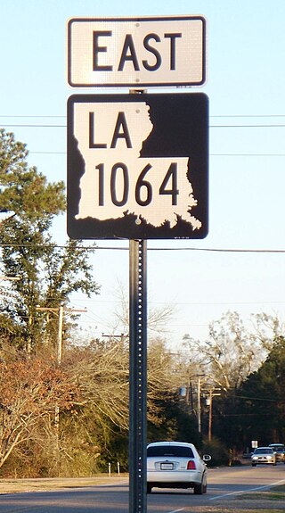
Albany is a town in eastern Livingston Parish, Louisiana, United States. The population was 1088 at the 2010 census. It is part of the Baton Rouge metropolitan statistical area.

Hammond is the largest city in Tangipahoa Parish, Louisiana, United States, located 45 miles (72 km) east of Baton Rouge and 45 miles (72 km) northwest of New Orleans. Its population was 20,019 in the 2010 U.S. census, and 21,359 at the 2020 population estimates program.
Natalbany is a census-designated place (CDP) in Tangipahoa Parish, Louisiana, United States. The population was 1,739 at the 2000 census. It is part of the Hammond Micropolitan Statistical Area.

Port Allen is a city in, and the parish seat of, West Baton Rouge Parish, Louisiana, United States. Located on the west bank of the Mississippi River, it is bordered by Interstate 10 and US Highway 190. The population was 5,180 at the 2010 census, down from 5,278 in 2000. It is part of the Baton Rouge Metropolitan Statistical Area.

Manchac is an unincorporated community in Tangipahoa Parish, Louisiana, United States.

The Texas and New Orleans Railroad was a railroad in Texas and Louisiana. It operated 3,713 miles (5,975 km) of railroad in 1934; by 1961, 3,385 miles (5,448 km) remained when it merged with parent company Southern Pacific.
Rynella is an unincorporated community in Iberia Parish, Louisiana, United States. The community is located 5 miles west of Lydia, 5 miles southwest of New Iberia and 3 miles northeast of Avery Island.
Rockport is a former settlement in an unincorporated area of Mendocino County, California. It is located 7.25 miles (12 km) north-northwest of Westport, at an elevation of 30 feet.

Grangeville is a census-designated place (CDP) in Kings County, California, United States. It is part of the Hanford–Corcoran Metropolitan Statistical Area. The population was 469 at the 2010 Census. The community is located 3.5 miles (5.6 km) west-northwest of Hanford, at an elevation of 249 feet (76 m).
Almadane is an unincorporated community in Vernon Parish, Louisiana, United States. The community is located 3 miles to the south of Evans and 13 miles west of Rosepine on the western edge of Clear Creek Wildlife Management Area on the scenic Myths and Legends Byway.
Woodville is an unincorporated community in Liberty Township, Porter County, in the U.S. state of Indiana.
The Natalbany River drains into Lake Maurepas in Louisiana in the United States. It is about 79.5 miles (127.9 km) long.
Hackley is an unincorporated community in Washington Parish, Louisiana, United States. The community is located 9 miles N of Franklinton, Louisiana.
Corbin is an unincorporated community in Livingston Parish, Louisiana, United States. The community is located 6 miles east of Denham Springs and 6 miles west of Livingston.

Doyle is an unincorporated community in Livingston Parish, Louisiana, United States. The community is located less than 2 miles east of Livingston and 4 miles west of Holden less than a mile east from the Doyle High School.
Weiss is an unincorporated community in Livingston Parish, Louisiana, United States. The community is located less than 3 miles southwest of Baywood and 6 miles northeast of Watson near the Amite River.
Frenier is a ghost town in St. John the Baptist Parish, in the U.S. state of Louisiana. The community is located less than 4 miles northeast of Laplace and 7 miles north of Montz.


