Groutville | |
|---|---|
 Groutville  Groutville | |
| Coordinates: 29°23′17″S31°14′42″E / 29.388°S 31.245°E | |
| Country | South Africa |
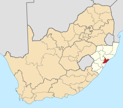
| Province | KwaZulu-Natal |
| District | iLembe |
| Municipality | KwaDukuza |
| Area | |
• Total | 7.89 km2 (3.05 sq mi) |
| Population (2011) [1] | |
• Total | 12,638 |
| • Density | 1,600/km2 (4,100/sq mi) |
| Racial makeup (2011) | |
| • Black African | 99.6% |
| • Coloured | 0.2% |
| • Indian/Asian | 0.1% |
| • White | 0.1% |
| First languages (2011) | |
| • Zulu | 93.1% |
| • S. Ndebele | 1.4% |
| • English | 1.3% |
| • Tsonga | 1.2% |
| • Other | 3.0% |
| Time zone | UTC+2 (SAST) |
| Postal code (street) | 4449 |
| PO box | 4450 |
| Area code | 032 |
Groutville is a town in Ilembe District Municipality in the KwaZulu-Natal province of South Africa. Home of the late ANC leader, Chief Albert Luthuli and his wife Nokukhanya Bhengu, [2] Home to RT Rev H. Mdelwa Hlongwane founder to The Bantu Methodist Church.
Mission station several km south-west of Stanger. Established in 1844 by the Reverend Aldin Grout (1803–1894) of the American Missionary Society and named after him. Formerly it was known as Umvoti. [3]