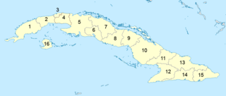
Administratively, Cuba is divided into 15 provinces and one special municipality. The current structure has been in place since August 2010, when the then-La Habana Province was divided into Artemisa Province and Mayabeque Province.

Santiago de Cuba Province is the second most populated province in the island of Cuba. The largest city Santiago de Cuba is the main administrative center. Other large cities include Palma Soriano, Contramaestre, San Luis and Songo-la Maya.

Granma is one of the provinces of Cuba. Its capital is Bayamo. Other towns include Manzanillo and Pilón.
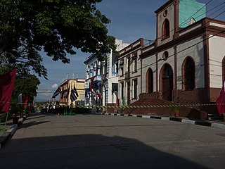
Palma Soriano is a Cuban city and municipality in the Santiago de Cuba Province. With a population of 119,740 in the city proper, it is the second-largest in the province and the 16th-largest in Cuba.

San Luis is a municipality and town in the Pinar del Río Province of Cuba. It is centered mainly on agriculture, stock raising.

Florida is a municipality and city in the Camagüey Province of Cuba. It is located 40 km (25 mi) north-west of Camagüey, along the Carretera Central highway. The city was established in 1907, and the municipality was established in 1924. Of all the municipalities of the Cuban province of Camagüey, Florida is third in area size. The name is Spanish for Land of flowers.

Consolación del Sur is a municipality and town in the Pinar del Río Province of Cuba. Also called the Athens of Vueltabajo, it was founded in 1690.

Sandino is a municipality and town in the Pinar del Río Province of Cuba. The town is located close to the coast and as such, fishing is the main economic resource of this place. It is also the gateway to the Guanahacabibes Peninsula, a UNESCO Biosphere Reserve.

Ciénaga de Zapata is one of 14 municipalities of the Matanzas Province, Cuba, and the municipal seat is located at Playa Larga, at the northern end of the Bahia de Cochinos. A large part of the municipality is protected as the Zapata Swamp, after which the municipality is named.

La Palma is a municipality and town in the Pinar del Río Province of Cuba. It is located in the northern part of the province, on the coast of the Straits of Florida, north of Consolación del Sur and north-east of Viñales.
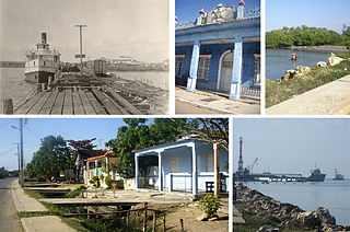
Batabanó is a municipality and town in the Mayabeque Province of Cuba. It was founded in 1688.

Songo – La Maya is a municipality in the Santiago de Cuba Province of Cuba. It is located north-east of Santiago de Cuba and is centered on the towns of La Maya and Alto Songo.

Tercer Frente is a municipality in the Santiago de Cuba Province of Cuba. It is centered on the town, and municipal seat, of Cruce de los Baños.
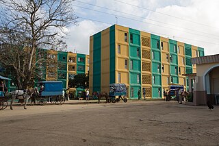
Segundo Frente is a municipality in the Santiago de Cuba Province of Cuba. Located in the northern part of the province, it is centered on the town, and municipal seat, of Mayarí Arriba.
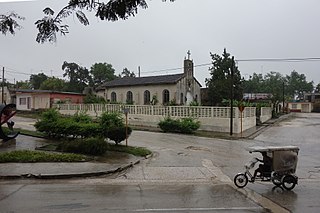
Contramaestre is a Cuban town and municipality in the Santiago de Cuba Province.

Urbano Noris is a municipality and city in the Holguín Province of Cuba. The municipal seat is located in the town of San Germán.

Niquero is a municipality and town in the Granma Province of Cuba. It is located in the coastal region of the province, bordering the Gulf of Guacanayabo. Cape Cruz, the westernmost point of the province is located in this municipality.
Turquino National Park, also known as Sierra Maestra National Park, is a national park in Santiago de Cuba Province, southeastern Cuba.

The road network of Cuba consists of 60,858 km (37,815 mi) of roads, of which over 29,850 km (18,550 mi) are paved and 31,038 km (19,286 mi) are unpaved. The Caribbean country counts also 654 km (406 mi) of motorways (autopistas).

Uvero, also known as El Uvero, is a Cuban village and consejo popular of the municipality of Guamá, in Santiago de Cuba Province. In 2011 it had a population of 2,581.


