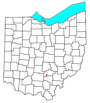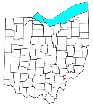
Union Furnace is an unincorporated community in northern Starr Township, Hocking County, Ohio, United States. It has a post office with the ZIP code 43158. It is located along State Route 328, which forms the main street in Union Furnace.

South Bloomingville is an unincorporated community in western Benton Township, Hocking County, Ohio, United States. Although it is unincorporated, it has a zip code of 43152. It is located at the intersection of State Routes 56 and 664, slightly west of Hocking Hills State Park. Early settlers and brief history can be found in the History of Hocking County. A more complete history with photos is found in the genealogy site of Rootsweb. In 1880 Bloomingville had a population of 165. In the histories there are references to Bloomingville and South Bloomville, the location and distinction is still being discovered.

Haydenville is an unincorporated community and census-designated place (CDP) in southern Green Township, Hocking County, Ohio, United States. As of the 2020 census the population of the CDP was 337.

Stewart is an unincorporated community and census-designated place in central Rome Township, Athens County, Ohio, United States. The population was 221 at the 2020 census. It has a post office with the ZIP code 45778.

Sharpsburg is an unincorporated community in northwestern Bern Township, Athens County, Ohio, United States. There is a convenience store there, with gas pumps, and also containing the post office with the ZIP code 45777. Additionally there is a church, the Bern Township office, and a few houses.

Shade is an unincorporated community in southern Lodi Township, Athens County, Ohio, United States. It has a post office with the ZIP code 45776. It lies along U.S. Route 33.

New Marshfield is a census-designated place in central Waterloo Township, Athens County, Ohio, United States. The population was 316 at the 2020 census. It has a post office with the ZIP code 45766. It is located along State Route 56 west of the county seat of Athens.

Hockingport is a census-designated place in southeastern Troy Township, Athens County, Ohio, United States. As of the 2020 census it had a population of 205. It has a post office with the ZIP code 45739. It is located at the intersection of State Routes 124 and 144.

Carbondale is an unincorporated community in northwestern Waterloo Township, Athens County, Ohio, United States. It has a post office with the ZIP code 45717. It is located a short distance north of State Route 56.

Creola is an unincorporated community in southern Swan Township, Vinton County, Ohio, United States. It had a post office, with ZIP code 45622, from 1860 until May 15, 1992, when service was suspended and mail was instead routed through New Plymouth, Ohio. It is located along State Route 93 approximately five miles north of the county seat of McArthur.

New Plymouth is an unincorporated community in northwestern Brown Township, Vinton County, Ohio, United States. It has a post office with the ZIP code 45654. It is located at the intersection of State Routes 56 and 328.

Wingett Run is an unincorporated community in western Ludlow Township, Washington County, Ohio, United States. It has a post office with the ZIP code 45789. It is located along State Route 26 and the Little Muskingum River.

Whipple is an unincorporated community in southern Salem Township, Washington County, Ohio, United States. Although it is unincorporated, it once had a post office, with the ZIP code 45788. It lies on State Route 821 south of the village of Lower Salem, at the junction of Whipple Run with Duck Creek. The community took its name from nearby Whipple Run.

Little Hocking is a census-designated place in southern Belpre Township, Washington County, Ohio, United States. It has a post office with the ZIP code 45742. The population of the CPD was 244 at the 2020 census.

Cutler is an unincorporated community in southwestern Fairfield Township, Washington County, Ohio, United States. It has a post office with the ZIP code 45724. It lies at the intersection of State Route 555 and County Road 59 near Gilbert Run, a subsidiary of the Little Hocking River, which meets the Ohio River at Little Hocking to the southeast.

Bartlett is an unincorporated community in southwestern Wesley Township, Washington County, Ohio, United States. It has a post office with the ZIP code 45713. It sits at the intersection of State Routes 550 and 555 near Coal Run, a subsidiary of Wolf Creek, which meets the Muskingum River at Waterford to the north. Near Bartlett is located the Shinn Covered Bridge, which spans Wolf Creek.

Chandlersville is an unincorporated community in western Salt Creek Township, Muskingum County, Ohio, United States. It has a post office with the ZIP code 43727. It lies along State Route 146 at its intersection with State Routes 284 and 313.

Malaga is an unincorporated community in northern Malaga Township, Monroe County, Ohio, United States. Malaga has a ZIP code of 43747. It lies at the intersection of State Routes 145 and 800.
Big Run is an unincorporated community in Athens County, in the U.S. state of Ohio.
Garden is an unincorporated community in Athens County, in the U.S. state of Ohio.


