| Higher Lees Farmhouse | |
|---|---|
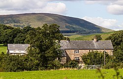 The building in 2015 | |
| Location | Bowland Forest Low, Lancashire, England |
| Coordinates | 53°53′54″N2°30′45″W / 53.89835°N 2.51254°W |
| Area | Ribble Valley |
| Built | c. 1780 |
Listed Building – Grade II | |
| Designated | 16 November 1984 |
| Reference no. | 1362267 |
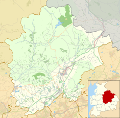 Location of Higher Lees Farmhouse in the Borough of Ribble Valley 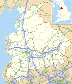 Higher Lees Farmhouse (Lancashire) | |
Higher Lees Farmhouse is a historic building in the English parish of Bowland Forest Low, Lancashire. It is Grade II listed, built around 1780, and is in sandstone with a slate roof, in two storeys and two bays. The windows have three lights and are mullioned. There is a central porch formed by sandstone slabs, and the doorway has a plain surround. [1]
Contents
A Lower Lees Farmhouse, which is also Grade II listed, is located about 1 mile (1.6 km) to the southwest. [2]