Clitheroe is a town and civil parish in the Borough of Ribble Valley, Lancashire, England; it is located 34 miles (55 km) north-west of Manchester. It is near the Forest of Bowland and is often used as a base for tourists visiting the area. In 2018, the Clitheroe built-up area had an estimated population of 16,279.

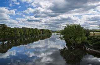
The River Ribble runs through North Yorkshire and Lancashire in Northern England. It starts close to the Ribblehead Viaduct in North Yorkshire, and is one of the few that start in the Yorkshire Dales and flow westwards towards the Irish Sea.

Whalley is a large village and civil parish in the Ribble Valley on the banks of the River Calder in Lancashire, England. It is overlooked by Whalley Nab, a large wooded hill over the river from the village. The population of the civil parish was 2,645 at the census of 2001, and increased to 3,629 at the census of 2011.

The Old Dee Bridge in Chester, Cheshire, England, is the oldest bridge in the city. It crosses the River Dee carrying the road that leads from the bottom of Lower Bridge Street and the Bridgegate to Handbridge. A bridge on this site was first built in the Roman era, and the present bridge is largely the result of a major rebuilding in 1387. It is recorded in the National Heritage List for England as a designated Grade I listed building, and is a scheduled monument.

Stopham is a hamlet and civil parish in the District of Chichester in West Sussex, England, about 1.5 miles (2.4 km) west of Pulborough on the A283 road. It is in the civil parish of Fittleworth.
This is a list of Grade I listed buildings in Lancashire, England.

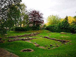
St Saviour's Church is an Anglican chapel in Stydd, a hamlet near Ribchester in Lancashire, England. It has been designated a Grade I listed building by English Heritage.

The Church of St Mary and All Saints is an Anglican church in the village of Whalley, Lancashire, England. It is an active parish church in the Diocese of Blackburn. A church probably existed on the site in Anglo-Saxon times and the current building dates from the 13th century. It is recorded in the National Heritage List for England as a designated Grade I listed building.

The River Irwell Railway Bridge was built for the Liverpool & Manchester Railway (L&MR), the world's first passenger railway which used only steam locomotives and operated as a scheduled service, near Water Street in Manchester, England. The stone railway bridge, built in 1830 by George Stephenson, was part of Liverpool Road railway station. The bridge was designated a Grade I listed building on 19 June 1988.

St Peter's Church is an Anglican church in the town of Burnley, Lancashire, England. It is an active parish church in the Diocese of Blackburn and the archdeaconry of Blackburn. The oldest part of the church, the lower tower, dates from the 15th century, and there are several later additions and restorations. St Peter's is recorded in the National Heritage List for England as a designated Grade II* listed building. From 1901 to 1977, its rectors simultaneously occupied the suffragan bishopric of Burnley.

St Wilfrid's Church is an Anglican church in Halton-on-Lune, a village in the English county of Lancashire. It is an active parish church in the Diocese of Blackburn and the archdeaconry of Lancaster. Halton may have been the site of an ancient Anglo-Saxon minster. Of the current structure, the tower dates from the 16th century and the remainder was built 1876–77 by Paley and Austin. The church is recorded in the National Heritage List for England as a designated Grade II listed building.

Skerton Bridge is a road bridge carrying the southbound lanes of the A6 road over the River Lune in Lancaster, Lancashire, England. The bridge is recorded in the National Heritage List for England as a designated Grade II* listed building and Scheduled Monument.

Lancashire is a county in North West England. In 1974 parts of the historic county were divided between Greater Manchester, Merseyside, Cheshire and Cumbria, and part of the West Riding of Yorkshire was transferred into the county, creating the non-metropolitan county of Lancashire. Together with the unitary authorities of Blackburn with Darwen and Blackpool it now forms the ceremonial county of Lancashire.
Clitheroe is a civil parish in Ribble Valley, Lancashire, England. It contains 117 listed buildings that are recorded in the National Heritage List for England. Of these, one is listed at Grade I, the highest of the three grades, one is at Grade II*, the middle grade, and the others are at Grade II, the lowest grade.
Great Mitton is a civil parish in Ribble Valley, Lancashire, England. It contains 17 listed buildings that are recorded in the National Heritage List for England. Of these, one is listed at Grade I, the highest of the three grades, one is at Grade II*, the middle grade, and the others are at Grade II, the lowest grade. The parish contains the village of Great Mitton and is otherwise completely rural. It is bounded by the Rivers Hodder and Ribble, and bridges crossing them are listed. The other listed buildings include houses, farmhouses, a barn, a church with associated strictures, public houses, a cross base, and a milestone.
Little Mitton is a civil parish in Ribble Valley, Lancashire, England. It contains two listed buildings that are recorded in the National Heritage List for England. Of these, one is at Grade II*, the middle grade, and the other is at Grade II, the lowest grade. The listed buildings are a former country house, later converted into a hotel, and a bridge crossing the River Ribble.

This is a list of scheduled monuments in the English county of Lancashire.

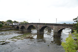
Ribchester Bridge is a toll-free, three-span bridge over the River Ribble near Ribchester, Lancashire, England. A Grade II listed structure, located about 0.75 miles (1.21 km) east of the village, it actually crosses the river between the civil parishes of Clayton-le-Dale and Dutton. The bridge carries the two-lane traffic of the B6245 Ribchester Road.

Penwortham Old Bridge is a toll-free, five-span bridge over the River Ribble at Preston, Lancashire, England. A Grade II listed structure and a scheduled monument, located about a mile southwest of the centre of the city, it crosses the river to Penwortham. Today the bridge no longer carries motorised traffic.

Hampton in Arden packhorse bridge crosses the River Blythe near Hampton in Arden in the West Midlands of England, between Birmingham and Coventry. Dating from the 15th century, it is the only bridge of its kind in the area now covered by the West Midlands, and is a grade II* listed building and a scheduled monument.


