Huancaray Wankaray | |
|---|---|
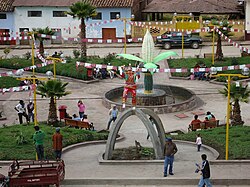 Square of Huancaray | |
 | |
| Country | |
| Region | Apurímac |
| Province | Andahuaylas |
| Capital | Huancaray |
| Government | |
| • Mayor | Macedonio Martin Mallcco Matute |
| Area | |
• Total | 112.2 km2 (43.3 sq mi) |
| Elevation | 2,902 m (9,521 ft) |
| Population | |
• Total | 4,775 |
| • Density | 43/km2 (110/sq mi) |
| Time zone | UTC-5 (PET) |
| UBIGEO | 030205 |
Huancaray (from Quechua Wankaray, [1] meaning "to gobble") is one of the nineteen districts of the Andahuaylas Province in Peru. [2]