Huancavelica province

Last updated
Huancavelica
Panoramica de Huancavelica.jpg
Bandera de Huancavelica.png
Escudo de Huancavelica.png
Location of the province Huancavelica in Huancavelica.svg
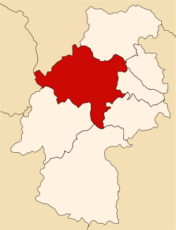
Location of Huancavelica in the Huancavelica Region
Country Peru
Region Huancavelica
Capital Huancavelica
Government
  MayorRómulo Cayllahua Paytán
Area
  Total
4,215.56 km2 (1,627.64 sq mi)
Population
  Total
115,054
  Density27/km2 (71/sq mi)
UBIGEO 0901

Huancavelica is one of seven provinces located in the Huancavelica Region of Peru. The capital of this province is the city of Huancavelica.

Contents

Boundaries

Geography

There are a couple of large lakes in the province like Anqasqucha, Astuqucha, Chiliqucha, Chunchuqucha, Kanllaqucha, Milluqucha, Papaqucha, Qiwllaqucha, Tipiqucha, Warmiqucha and Ñawinqucha some of which belong to the largest lakes of Peru.

The Chunta mountain range traverses the province. Some of the highest peaks of the province are listed below: [1]

Political division

The province is divided into nineteen districts, which are:

Ethnic groups

The people in the province are mainly Indigenous citizens of Quechua descent. Quechua is the language which the majority of the population (55.06%) learnt to speak in childhood, 44.70% of the residents started speaking using the Spanish language (2007 Peru Census). [2]

See also

Sources

  1. escale.minedu.gob.pe/ UGEL map province of Castrovirreyna (Huancavelica Region)
  2. inei.gob.pe Archived 2013-01-27 at the Wayback Machine INEI, Peru, Censos Nacionales 2007

12°47′09″S74°58′22″W / 12.78583°S 74.97278°W / -12.78583; -74.97278