The Kyffhäuserkreis is a district in the northern part of Thuringia, Germany. Neighboring districts are the districts Mansfeld-Südharz, Saalekreis and Burgenlandkreis in Saxony-Anhalt, and the districts Sömmerda, Unstrut-Hainich-Kreis and Eichsfeld.

Bad Blankenburg is a spa town in the district of Saalfeld-Rudolstadt, in Thuringia, Germany. It is situated 6 km southwest of Rudolstadt, and 37 km southeast of Erfurt. It is most famous for being the location of the first kindergarten of Friedrich Wilhelm August Fröbel, in 1837.
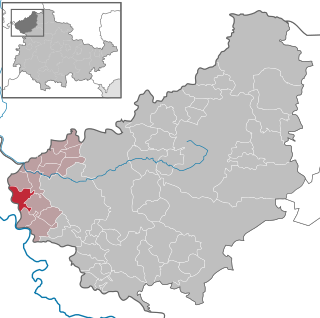
Bornhagen is a municipality in the district of Eichsfeld in Thuringia, Germany, located at the foot of the ruins of Hanstein Castle. The town district Rimbach is positioned directly south of the castle citadel at an elevation of 370 m. Bornhagen is located 22 km south of Göttingen, 85 km northwest of the state capital Erfurt and 270 km southwest of Berlin. It is the westernmost settlement in Thuringia but does not contain the westernmost point which is 75 km south near Geisa.

Teistungen is a municipality in the district of Eichsfeld in Thuringia, Germany.

Greiz is a town in the state of Thuringia, Germany, and is the capital of the district of Greiz. Greiz is situated in eastern Thuringia, 100 kilometres (62 mi) east of the state capital Erfurt, on the White Elster river.
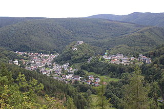
Schwarzburg is a municipality in the valley of the Schwarza in the district Saalfeld-Rudolstadt in Thuringia, in central Germany.
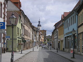
Eisenberg is a town in Thuringia, Germany. It is the capital of the district Saale-Holzland.

Bad Köstritz is a town in the district of Greiz, in Thuringia, Germany. It is situated on the White Elster river, 7 km northwest of Gera. Bad Köstritz is known for the Köstritzer brewery and its Schwarzbier.

Magdala is a town in the Weimarer Land district, in Thuringia, Germany. It is situated 10 kilometres west of Jena, and 12 kilometres southeast of Weimar.

Orlamünde is a small town in the Saale-Holzland district, in Thuringia, Germany. It is part of the Verwaltungsgemeinschaft Südliches Saaletal.

Treffurt is a small town in the western region of the Wartburgkreis district which belongs to the federal state of Thuringia. The former municipality Ifta was merged into Treffurt in January 2019. The town lies near the Werra and is surrounded by the Werratal valley and rivers. Treffurt is located next to the Hessian border and was a former part of the Sperrzone. Today, Treffurt is a tourist destination, especially due to its scenic town centre with many restored half-timbered houses and its landmark - the Normannstein castle.

Weißensee is a town in the district of Sömmerda, in Thuringia, Germany. It is situated 6 km northwest of Sömmerda, and 25 km north of Erfurt. The former municipality Herrnschwende was merged into Weißensee in January 2019.

Drei Gleichen is a municipality in the district of Gotha, in Thuringia, Germany. It was formed on 1 January 2009 by the merger of the former municipalities Grabsleben, Mühlberg, Seebergen and Wandersleben. Since May 1992, these municipalities had cooperated in the VerwaltungsgemeinschaftDrei Gleichen. This Verwaltungsgemeinschaft was disbanded on 1 January 2009. It is named after the drei Gleichen castles between Gotha and Erfurt. In July 2018 the former municipality of Günthersleben-Wechmar was merged into Drei Gleichen.
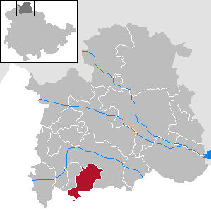
Großlohra is a municipality in the district of Nordhausen, in Thuringia, Germany, situated on the northern edge of the Hainleite ridge about 20 km (12 mi) southwest of the district capital. It consists of the settlements of Friedrichslohra, Großwenden, Kleinwenden, as well as Münchenlohra with its former convent basilica St. Gangulphus and castle Lohra with its accompanying manor, all of which were united in 1950.

Kaulsdorf is a municipality in the district Saalfeld-Rudolstadt, in Thuringia, Germany.
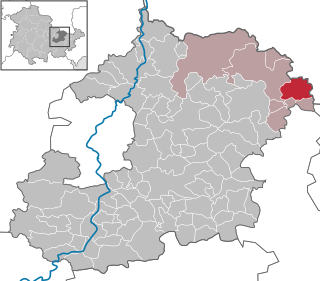
Crossen an der Elster is a village and municipality in the district Saale-Holzland, in Thuringia, Germany. The White_Elster is the name of the small river which flows through the municipality, so 'Crossen on the Elster' would be the English equivalent.

Jenalöbnitz is a municipality in the district Saale-Holzland, in Thuringia, Germany.
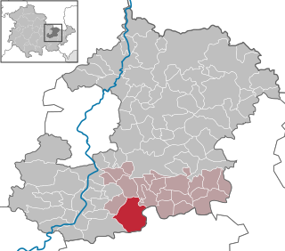
Trockenborn-Wolfersdorf is a municipality in the district Saale-Holzland, in Thuringia, Germany.

Oppurg is a municipality in the district of Saale-Orla-Kreis, in Thuringia, Germany.

Amt Wachsenburg is a municipality in the district Ilm-Kreis, in Thuringia, Germany. The municipality is named after the Wachsenburg Castle which is located in its center. It was formed on 31 December 2012 from the former municipalities Wachsenburggemeinde and Ichtershausen. The former municipality Kirchheim was merged into Amt Wachsenburg in January 2019, and Rockhausen in December 2019. It consists of the villages Bechstedt-Wagd, Bittstädt, Eischleben, Haarhausen, Holzhausen, Ichtershausen, Kirchheim, Rehestädt, Rockhausen, Röhrensee, Sülzenbrücken, Thörey and Werningsleben.


