Lippersdorf-Erdmannsdorf | |
|---|---|
Location of Lippersdorf-Erdmannsdorf within Saale-Holzland-Kreis district 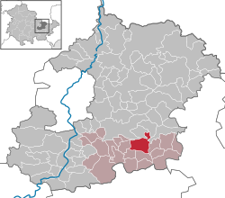 | |
 Location of Lippersdorf-Erdmannsdorf | |
 Lippersdorf-Erdmannsdorf  Lippersdorf-Erdmannsdorf | |
| Coordinates: 50°50′0″N11°47′30″E / 50.83333°N 11.79167°E | |
| Country | Germany |
| State | Thuringia |
| District | Saale-Holzland-Kreis |
| Municipal assoc. | Hügelland/Täler |
| Government | |
| • Mayor (2022–28) | Mario Nojack [1] |
| Area | |
• Total | 9.97 km2 (3.85 sq mi) |
| Elevation | 230 m (750 ft) |
| Population (2023-12-31) [2] | |
• Total | 458 |
| • Density | 45.9/km2 (119/sq mi) |
| Time zone | UTC+01:00 (CET) |
| • Summer (DST) | UTC+02:00 (CEST) |
| Postal codes | 07646 |
| Dialling codes | 036426 |
| Vehicle registration | SHK, EIS, SRO |
| Website | www.huegelland-taeler.de |
Lippersdorf-Erdmannsdorf is a municipality in the district Saale-Holzland, in Thuringia, Germany.