Jefferson Township, Geary County, Kansas

Last updated

Jefferson Township
Map highlighting Jefferson Township, Geary County, Kansas.svg
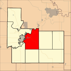
Location in Geary County
Coordinates: 39°00′02″N096°45′41″W / 39.00056°N 96.76139°W / 39.00056; -96.76139
Country United States
State Kansas
County Geary
Area
  Total
48.44 sq mi (125.46 km2)
  Land47.69 sq mi (123.51 km2)
  Water0.75 sq mi (1.95 km2)  1.55%
Elevation
1,289 ft (393 m)
Population
 (2000)
  Total
1,651
  Density34.6/sq mi (13.4/km2)
GNIS feature ID 0476710

Jefferson Township is a township in Geary County, Kansas, United States. As of the 2000 census, its population was 1,651.

Contents

History

Jefferson Township was established in 1878. It was named for Thomas Jefferson. [1]

Geography

Jefferson Township covers an area of 48.44 square miles (125.5 km2) and contains one incorporated settlement, Grandview Plaza. According to the USGS, it contains two cemeteries: Fairview and Rosey.

Whiskey Lake is within this township. The streams of Clarks Creek, Davis Creek, Dry Creek, Franks Creek and Humboldt Creek run through this township.

Transportation

Jefferson Township contains one airport or landing strip, Marshall Airfield.

References

  1. "Geary County History (archived)". Geary County Historical Society. Archived from the original on October 12, 2013. Retrieved June 10, 2014.

Further reading