Alida, Kansas | |
|---|---|
 | |
 Alida  Alida | |
| Coordinates: 39°5′45″N96°56′25″W / 39.09583°N 96.94028°W [1] | |
| Country | United States |
| State | Kansas |
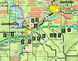
| County | Geary |
| Founded | 1858 |
| Elevation | 1,142 ft (348 m) |
| Population | |
• Total | 0 |
| Time zone | UTC-6 (CST) |
| • Summer (DST) | UTC-5 (CDT) |
| Area code | 785 |
| FIPS code | 20-01200 [1] |
| GNIS ID | 476498 [1] |
Alida is a ghost town in Smoky Hill township of Geary County, Kansas, United States. [1]
