
Pala is a town and a municipality in Kottayam district of Kerala, India. It is the headquarters of the Meenachil taluk and the Pala Revenue Division.
Muzhappilangad (മുഴപ്പിലങ്ങാട്) is a coastal census town near Thalassery in Kannur district in the Indian state of Kerala.

Vaikom, IPA: [ʋɐjkːɐm], is a municipal town and a capital town of Vaikom Taluk, situated in the northwest of Kottayam district in the state of Kerala, India. The town is also noted for its role in the Indian independence movement for being the venue of Vaikom Satyagraham, a civil rights movement aimed at securing freedom of movement for all sections of society through the public roads leading to the Vaikom Shiva Temple.
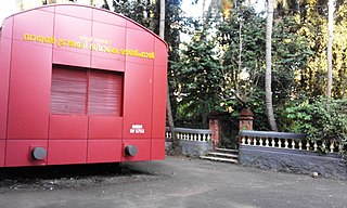
Tirur is a Municipality in Malappuram district in the Indian state of Kerala spread over an area of 16.55 square kilometres (6.39 sq mi). It is one of the business centers of Malappuram district and is situated 26 kilometres (16 mi) west of Malappuram and 52.5 kilometres (32.6 mi) south of Kozhikode, on the Shoranur–Mangalore section under Southern Railway. Tirur is also a major regional trading centre for fish and betel leaf and has an average elevation of 2 metres.
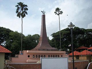
Kuthuparamba is a town and a municipality in the Kannur district, state of Kerala, India. It is about 24 km south east of Kannur and 14 km east of Thalassery.

Kottayam is a municipal town in the Indian state of Kerala. Flanked by the Western Ghats on the east and the Vembanad Lake and paddy fields of Kuttanad on the west. It is the district headquarters of Kottayam district, located in south-west Kerala. Kottayam is located in the basin of the Meenachil River at an average elevation of 3 metres (9.8 ft) above sea level, and has a moderate climate. It is located approximately 155 kilometres (96 mi) north of the state capital Thiruvananthapuram.

Erattupetta is a municipal town located in Kottayam district, state of Kerala, India,. It is located 38 km east of Kottayam, the district capital. Erattupetta Grama Panchayath was founded in 1964 and upgraded to a municipality in 2015.
Chalthan is a census town in Surat City in the state of Gujarat, India.
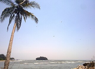
Dharmadom or Dharmadam is a census town in Thalassery taluk of Kannur district in the state of Kerala, India. This town is located in between Anjarakandi River and Ummanchira river, and Palayad town and Arabian sea. It is known for the 100-year-old Government Brennen College and Dharmadam Island.
Kottayam-Malabar is a census town near Kuthuparamba in Kannur district of Kerala state in India. It is different from the city of Kottayam in Kottayam district of the same state.
Mavilayi is a census town in Kannur district in the Indian state of Kerala. Situated in Peralasseri Panchayath on Kannur-Kuthuparamba State Highway, 15 km away from Kannur Town.
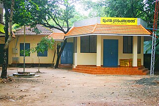
Muhamma is a census town in Cherthala Taluk in Alappuzha district in the Indian state of Kerala. It is home to Cheerappanchira kalari, where Lord Ayyappa of Sabarimala had his training in the martial arts. Cheerappanchira is an Ezhava ancestral home in Muhamma. Muhamma was the village where the Communist Party of India (Marxist) leader P. Krishna Pillai died after sustaining a snake-bite. Pathiramanal island, one of the scenic spots in vembanad lake is a part of Muhamma Panchyath.Muhamma boat jetty offers ferry services to Kumarakom and Alappuzha. Pathiramnal island can be accessed by private owned boats and also by government operated water transport.
Perumbaikad is a census town in Kottayam district in the Indian state of Kerala.
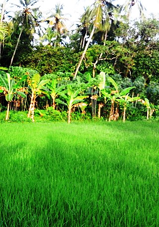
Ramanattukara is a municipality census town in Kozhikode district in the Indian state of Kerala. This town was formerly called Kadungan Chira village. Ramanattukara is located 14 km away from Kozhikode city.
Mansa is a town with municipality and former princely state, in Gandhinagar district in the western Indian state of Gujarat.

Kumily also spelt as Kumaly is a revenue village and Gram Panchayat in the Idukki district of Kerala. It is a town in Cardamom Hills near Thekkady and Periyar Tiger Reserve. Kumily is a gateway town into Kerala from Tamil Nadu.
Rajakkad is a town in the Idukki district in the Indian state of Kerala situated in the Western Ghats.
Cheruvanchery is a village in Kannur district in the Indian state of Kerala. A detailed history of the town for the first time was written in a blog "Cheruvanchery: A Tale of Erased Times".
Kerur is a town in Bagalkot district in Karnataka, which located on NH 218. It has an average elevation of 617 meters (2024 feet). It's a birthplace of Jagadish Shettar, a former Chief Minister of Karnataka. Kerur is a Town Panchayat city in district of Bagalkot, Karnataka. The Kerur city is divided into 16 wards for which elections are held every five years. The Kerur Town Panchayat has population of 19,731 of which 9,929 are males while 9,802 are females as per report released by Census India 2011.
Kanjikuzhi is a census town and Panchayat in Alappuzha district of Kerala State, India. Kanjikuzhi is located 16 km (9.9 mi) north of District headquarters Alappuzha and 7 km (4.3 mi) south of Cherthala, kanjikuzhi payyar orginate here.


