Kirf | |
|---|---|
 Coat of arms | |
Location of Kirf within Trier-Saarburg district 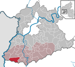 | |
 Location of Kirf | |
 Kirf  Kirf | |
| Coordinates: 49°33′4.17″N6°28′45.25″E / 49.5511583°N 6.4792361°E | |
| Country | Germany |
| State | Rhineland-Palatinate |
| District | Trier-Saarburg |
| Municipal assoc. | Saarburg-Kell |
| Government | |
| • Mayor (2019–24) | Reinhold Anton [1] (FW) |
| Area | |
• Total | 19.15 km2 (7.39 sq mi) |
| Elevation | 320 m (1,050 ft) |
| Population (2023-12-31) [2] | |
• Total | 832 |
| • Density | 43.4/km2 (113/sq mi) |
| Time zone | UTC+01:00 (CET) |
| • Summer (DST) | UTC+02:00 (CEST) |
| Postal codes | 54441 |
| Dialling codes | 06582, 06583 |
| Vehicle registration | TR |
| Website | www.vg-saarburg.de |
Kirf is a municipality in the Trier-Saarburg district, in Rhineland-Palatinate, Germany.
