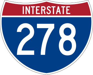
Interstate 278 (I-278) is an auxiliary Interstate Highway in New Jersey and New York in the United States. The road runs 35.62 miles (57.32 km) from US Route 1/9 (US 1/9) in Linden, New Jersey, northeast to the Bruckner Interchange in the New York City borough of the Bronx. The majority of I-278 is in New York City, where it serves as a partial beltway and passes through all five of the city's boroughs. I-278 follows several freeways, including the Union Freeway in Union County, New Jersey; the Staten Island Expressway (SIE) across Staten Island; the Gowanus Expressway in southern Brooklyn; the Brooklyn–Queens Expressway (BQE) across Northern Brooklyn and Queens; a small part of the Grand Central Parkway in Queens; and a part of the Bruckner Expressway in the Bronx. I-278 also crosses multiple bridges, including the Goethals, Verrazzano-Narrows, Kosciuszko, and Robert F. Kennedy bridges.
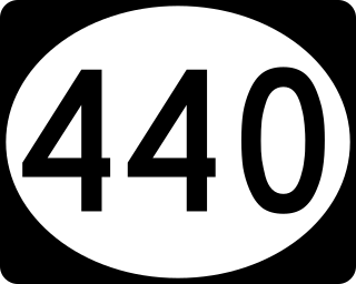
Route 440 is a state highway in New Jersey, United States. It comprises two segments, a 5.1-mile (8.2 km) freeway in Middlesex County linking I-287 and the New Jersey Turnpike (I-95), in Edison to the Outerbridge Crossing in Perth Amboy and an 8.1-mile (13.0 km) four-lane divided highway in Hudson County running from the Bayonne Bridge in Bayonne to Truck US 1-9 in Jersey City. These two segments are connected by NY 440, which runs across Staten Island. The freeway portion in Middlesex County is six lanes wide and interchanges with the Garden State Parkway and US 9 in Woodbridge.

The Staten Island Greenbelt is a system of contiguous public parkland and natural areas in the central hills of the New York City borough of Staten Island. It is the second largest component of the parks owned by the government of New York City and is maintained by the city's Department of Parks and Recreation and the Greenbelt Conservancy, a not-for-profit organization that works in partnership with NYC Parks to care for the Greenbelt and raise funds for its maintenance and programs. The Greenbelt includes High Rock Park, LaTourette Park, William T. Davis Wildlife Refuge, and Willowbrook Park among others.

New York State Route 440 (NY 440) is a freeway located entirely on Staten Island in New York City. The route acts as a connector between the two segments of New Jersey Route 440, running from the Staten Island community of Charleston in the south to Port Richmond in the north. NY 440 is connected to the two New Jersey segments by the Outerbridge Crossing to the south and the Bayonne Bridge to the north. It is one of several signed New York State routes that are not connected to any others in the state, and one of only two NYS routes that is the middle section of another state's highway bearing the same number. From the Korean War Veterans Parkway to Interstate 278 (I-278), it is known as the West Shore Expressway. North of I-278, it is named the Dr. Martin Luther King Jr. Expressway. NY 440 is the southernmost state route in the state of New York.

The Belt Parkway is the name given to a series of controlled-access parkways that form a belt-like circle around the New York City boroughs of Brooklyn and Queens. The Belt Parkway comprises three of the four parkways in what is known as the Belt System: the Shore Parkway, the Southern Parkway, and the Laurelton Parkway. The three parkways in the Belt Parkway are a combined 25.29 miles (40.70 km) in length. The Cross Island Parkway makes up the fourth parkway in the system, but is signed separately.

Lemon Creek is a stream located on the South Shore of Staten Island in New York City. It is one of the few remaining ground-level creeks in New York City.

New York State Route 25 (NY 25) is an east–west state highway in downstate New York in the United States. The route extends along the central parts and North Shore of Long Island for just over 105 miles (169 km) from east midtown Manhattan in New York City to the Cross Sound Ferry terminal at Orient Point on the end of Long Island's North Fork. NY 25 is carried from Manhattan to Queens by way of the double-decked Queensboro Bridge over the East River.

New York State Route 27 (NY 27) is a 120.58-mile (194.05 km) long state highway that runs east–west from Interstate 278 (I-278) in the New York City borough of Brooklyn to Montauk Point State Park on Long Island, New York. Its two most prominent components are Sunrise Highway and Montauk Highway, the latter of which includes the Montauk Point State Parkway. NY 27 acts as the primary east–west highway on southern Long Island east of the interchange with the Heckscher State Parkway in Islip Terrace. The entire route in Suffolk, Nassau, and Queens counties were designated by the New York State Senate as the POW/MIA Memorial Highway. The highway gives access to every town on the South Shore. NY 27 is the easternmost state route in the state of New York, as well as the longest highway on Long Island.
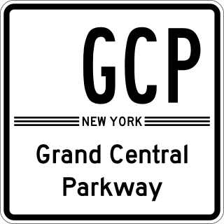
The Grand Central Parkway (GCP) is a 14.61-mile (23.51 km) controlled-access parkway that stretches from the Triborough Bridge in New York City to the Queens–Nassau County line on Long Island. At the Nassau County line, it becomes the Northern State Parkway, which runs across the northern part of Long Island into Suffolk County, where it ends in Hauppauge. The westernmost stretch also carries a short stretch of Interstate 278 (I-278). The parkway runs through Queens and passes the Cross Island Parkway, Long Island Expressway, LaGuardia Airport and Citi Field, home of the New York Mets. The parkway is designated New York State Route 907M (NY 907M), an unsigned reference route. Despite its name, the Grand Central Parkway was not named after Grand Central Terminal.
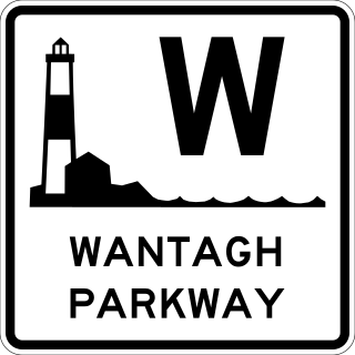
The Wantagh State Parkway is a 13.33-mile (21 km) controlled-access parkway on Long Island, New York, in the United States. It links the Ocean Parkway in Jones Beach State Park with the Northern State Parkway in Westbury. The parkway is located approximately 30 miles (48 km) east of Manhattan and 14 miles (23 km) east of the Nassau–Queens border.
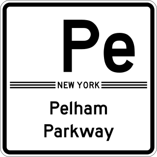
The Bronx and Pelham Parkway, also known formally as the Bronx–Pelham Parkway but called Pelham Parkway in everyday use, is a 2.25-mile-long (3.62 km) parkway in the borough of the Bronx in New York City. The road begins in Bronx Park at the Bronx River Parkway and U.S. Route 1 and ends at Interstate 95 (I-95), the New England Thruway, in Pelham Bay Park, hence the roadway's name. The parkway is designated as New York State Route 907F (NY 907F), an unsigned reference route, by the New York State Department of Transportation (NYSDOT).

New York State Route 347 (NY 347) is an east–west state highway located in Suffolk County, New York, in the United States. It connects the Northern State Parkway in Hauppauge to NY 25A in Mount Sinai. The route serves as a southern bypass of Smithtown and as a direct link between Nesconset and Port Jefferson, leading to the road being known as Smithtown Bypass in the Town of Smithtown, and for its entire length as the Nesconset–Port Jefferson Highway. Along the way, NY 347 intersects NY 25 in Nesconset and Nicolls Road in Lake Grove. The westernmost 2 miles (3.2 km) of NY 347 is concurrent with NY 454 while the portion northeast of NY 25 parallels NY 25A, which follows a more northerly alignment through the Town of Brookhaven than NY 347.

New York State Route 454 (NY 454), also known as the Suffolk County Veterans Memorial Highway or simply Vets Highway, is a 13.67-mile (22.00 km) east–west state highway in western and central Suffolk County on Long Island in New York. It spans from NY 25 in Commack to NY 27 in Holbrook. The route provides access to the Long Island MacArthur Airport, as well as New York State and Suffolk County government offices, and at one time the Long Island Arena. NY 454 serves as the northern terminus for the Northern State Parkway in Hauppauge, where a concurrency with NY 347 begins.

New York State Route 439 (NY 439) was an east–west state highway on Staten Island in New York in the United States. The western terminus of the route was at the Goethals Bridge, where it continued into New Jersey as its Route 439. Its eastern terminus was at the Staten Island Ferry terminal in the St. George neighborhood. In between, NY 439 followed the Staten Island Expressway, Forest Avenue, Victory Boulevard, and Bay Street.

Richmond Avenue is a major north-south thoroughfare on Staten Island, New York. Measuring approximately 7.0 miles (11.3 km), the road runs from the South Shore community of Eltingville to the North Shore community of Graniteville.

County Route 46 (CR 46) is a major county road in eastern Suffolk County, New York, in the United States. It runs south-to-north from CR 75 in Smith Point County Park to New York State Route 25A (NY 25A) near the border of Shoreham and Wading River. The road is known as the William Floyd Parkway along its entire length, and is named after William Floyd, a Long Island native and a signer of the United States Declaration of Independence. Despite its "parkway" designation within the State of New York, the road is open to commercial vehicles.

New York State Route 25D (NY 25D) was a state highway located on Long Island in the U.S. state of New York. It was originally the designation of Horace Harding Boulevard, Nassau Boulevard, and Powerhouse Road, the route of which the Long Island Expressway (Interstate 495) took over as it was constructed in the 1950s. The NY 25D designation along the LIE was replaced by NY 24 upon the completion of the expressway through Queens and western Nassau County in 1958.
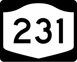
New York State Route 231 (NY 231) is a 9.05-mile (14.56 km) long state highway located in Suffolk County, on Long Island, in New York, in the United States. The route extends north–south from a partial interchange with NY 27A in the Incorporated Village of Babylon to an interchange with the Northern State Parkway in Dix Hills.


