The Joseph Ayo Babalola University (JABU) is a private Nigerian university located in Ikeji-Arakeji in Osun State, established by the Christ Apostolic Church (CAC) Worldwide. The university is named after the first Spiritual leader of Christ Apostolic Church, Joseph Ayo Babalola (1904–1959); it is located at the place where he was called by God to slay the Ogobungo ogre in 1928. Joseph Ayo Babalola University is a fully residential institution. The university offers courses in the following colleges; Agricultural Sciences, Environmental Sciences, Humanities, Law, Management Sciences, Natural Sciences and Social Sciences. Due to its Christian foundations, male and female in the school are enjoined to adopt an extremely modest mode of dressing while on campus.
Tangermünde was a Verwaltungsgemeinschaft in the district of Stendal, in Saxony-Anhalt, Germany. The seat of the Verwaltungsgemeinschaft was in Tangermünde. It was disbanded on 1 January 2010.
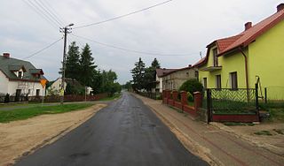
Gmina Krasne is a rural gmina in Przasnysz County, Masovian Voivodeship, in east-central Poland. Its seat is the village of Krasne, which lies approximately 13 kilometres (8 mi) south-east of Przasnysz and 79 km (49 mi) north of Warsaw.

Kolonia Fryderyk is a village in Gmina Gorzyce, Wodzisław County, Silesian Voivodeship, Poland. It has a population of 1,105 (2006). It lies approximately 2 kilometres (1 mi) north-east of Gorzyce, 5 km (3 mi) south-west of Wodzisław Śląski, and 52 km (32 mi) south-west of the regional capital Katowice.
Kojrany is a settlement in the administrative district of Gmina Juchnowiec Kościelny, within Białystok County, Podlaskie Voivodeship, in north-eastern Poland.
Maciejkowa Góra is a village in the administrative district of Gmina Michałowo, within Białystok County, Podlaskie Voivodeship, in north-eastern Poland, close to the border with Belarus.
Jadowniki is a village in the administrative district of Gmina Brzesko, within Brzesko County, Lesser Poland Voivodeship, in southern Poland. It lies approximately 3 kilometres (2 mi) east of Brzesko and 52 km (32 mi) east of the regional capital Kraków.
Łabuńki Drugie is a village in the administrative district of Gmina Łabunie within Zamość County, Lublin Voivodeship in eastern Poland. It lies approximately 5 kilometres (3 mi) north of Łabunie, 8 km (5 mi) east of Zamość, and 82 km (51 mi) southeast of the regional capital Lublin.
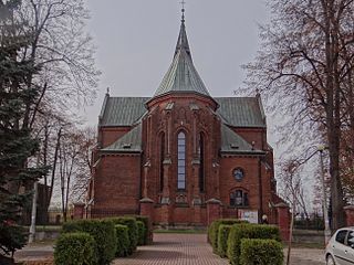
Krasne is a village in Przasnysz County, Masovian Voivodeship, in east-central Poland. It is the seat of the gmina called Gmina Krasne. It lies approximately 13 kilometres (8 mi) south-east of Przasnysz and 79 km (49 mi) north of Warsaw.
Białebłoto-Stara Wieś is a village in the administrative district of Gmina Brańszczyk, within Wyszków County, Masovian Voivodeship, in east-central Poland.
Czapliniec is a village in the administrative district of Gmina Sieraków, within Międzychód County, Greater Poland Voivodeship, in west-central Poland.
Bronisławki is a village in the administrative district of Gmina Ujście, within Piła County, Greater Poland Voivodeship, in west-central Poland. It lies approximately 12 kilometres (7 mi) south of Ujście, 21 km (13 mi) south of Piła, and 65 km (40 mi) north of the regional capital Poznań.
Mroczenko is a village in the administrative district of Gmina Grodziczno, within Nowe Miasto County, Warmian-Masurian Voivodeship, in northern Poland.

Pustkowo is a village in the administrative district of Gmina Rewal, within Gryfice County, West Pomeranian Voivodeship, in north-western Poland. It lies approximately 4 kilometres (2 mi) south-west of Rewal, 23 km (14 mi) north-west of Gryfice, and 77 km (48 mi) north of the regional capital Szczecin.
Inates is a village and rural commune in Niger.
Renascença is a municipality in the state of Paraná in the Southern Region of Brazil.
Bogojevce is a village in the municipality of Leskovac, Serbia. According to the 2002 census, the village has a population of 1571 people.

Sääsküla is a village in Järva Parish, Järva County in northern-central Estonia.

The Palaung Self-Administered Zone is a self-administered zone consisting of two townships in Shan State:
Mäebe is a village in Saaremaa Parish, Saare County in western Estonia.


