This article needs additional citations for verification .(July 2013) |
Kumarghat KGT | |
|---|---|
Town | |
 Kumarghat  Kumarghat | |
| Coordinates: 24°9′30″N92°1′47″E / 24.15833°N 92.02972°E | |
| Country | |
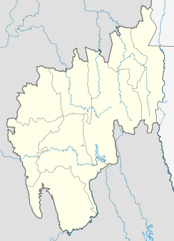
| State | Tripura |
| District | Unakoti district |
| Established | 1941 |
| Government | |
| • Type | Municipal Council |
| • Body | Kumarghat Municipal Council |
| • Chairman | Biswajit Das (BJP) |
| Population (2015) | |
• Total | 15,189 |
| Languages | |
| • Official | Bengali, Kokborok, English |
| Time zone | UTC+5:30 (IST) |
| Postal code | 799264 |
| Telephone code | 03824 |
| Vehicle registration | TR-02 |
| Vidhan Sabha | Pabiacherra |
| Website | tripura |
Kumarghat is a town and subdivision in Unakoti district in Tripura, India. It is a municipal council and the 14th largest town in Tripura by population. [1] Kumarghat railway station is the only railway station in Unakoti district.