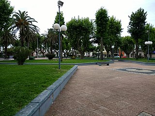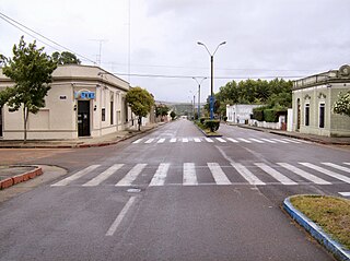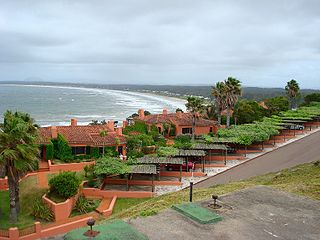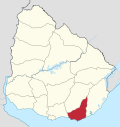
Piriápolis is a city in the Maldonado Department of Uruguay. It is an important summer resort in the country, predating the larger and better known resort town of Punta del Este. Because it is mainly used as a resort, it has a relatively small permanent population for a city of its size.

Pan de Azúcar is a city in the southwest of the Maldonado Department in Uruguay. It takes its name from a nearby hill, topped by a huge cross.

San Carlos is a city in the Maldonado Department of southern Uruguay. "San Carlos" is also the name of the municipality to which the city belongs. The municipality includes the following zones: San Carlos, El Tesoro, La Barra, Edén Rock, El Chorro, Manantiales, Balneario Buenos Aires, Punta Piedras, Santa Mónica, San Vicente, El Edén, Paso de la Cantera, Las Cañas, Carapé, Mataojo, Guardia Vieja, Pago de la Paja, Partido Norte, Partido Oeste, Cañada Bellaca, Corte de la Leña, Punta del Campanera, Puntas de Mataojo, and Laguna José Ignacio.

Laguna del Sauce is a subtropical shallow lake and the largest water body in the Maldonado Department of Uruguay. It is located 15 kilometres (9.3 mi) west of Punta del Este. The lake is the only freshwater ecosystem in the country classified for drinking water as its principal use.

Rocha is the capital city of the Rocha Department in Uruguay.

Aiguá is a city of the Maldonado Department in Uruguay. Its name means running water in the Guaraní language. It is also the name of the municipality to which the city belongs. It includes the following zones: Aiguá, Sauce de Aiguá, Sarandí de Aiguá, Alférez, Valdivia, Salamanca, Coronilla, Rincón de Aparicio, Los Talas, Paso de los Talas.

Garzón is a village in the Maldonado Department of southeastern Uruguay.

La Paloma is a small city in the Rocha Department of southeastern Uruguay.
El Tesoro is a resort in the Maldonado Department of southeastern Uruguay.
Pinares – Las Delicias is a resort (balneario) and southwestern urban extension of the capital of Maldonado Department of Uruguay.

Punta Ballena is a small peninsula (punta) and a resort (balneario), as well as an important tourist attraction on the coast of Río de la Plata in the Maldonado Department of southeastern Uruguay. It comprises an approximately 12 kilometres (7.5 mi) long stripe of beaches and landforms and extends on both sides of Route 10.
San Rafael – El Placer is a resort in the Maldonado Department of southeastern Uruguay.
Bella Vista is a resort (balneario) in the Maldonado Department of southeastern Uruguay.
Manantiales is a resort (balneario) in the Maldonado Department of southeastern Uruguay.

La Barra is a resort in the Maldonado Department of southeastern Uruguay.
El Chorro is a resort (balneario) in the Maldonado Department of southeastern Uruguay.

Punta Negra is a small peninsula (punta) and a resort (balneario) in the Maldonado Department of Uruguay.
Sauce de Portezuelo is a resort (balneario) in the Maldonado Department of Uruguay.

Chihuahua is a resort (balneario) in the Maldonado Department of Uruguay.
Ocean Park is a resort (balneario) in the Maldonado Department of Uruguay.


