Schwarzenbach is a town in the Wiener Neustadt-Land district, Lower Austria, Austria. 48.22 percent of the municipality is forested. The area is divided into two districts: Schwarzenbach and Schwarzenbach (Zerstreut), the latter comprising the scattered settlements around the main village. There are 33 non-agricultural companies. 463 persons are employed. The activity rate in 2001 was 41.34%.
Pilsbach is a town in the Austrian state of Upper Austria.
Waidhofen an der Thaya is an Austrian town located on the German Thaya river in the district of the same name in Lower Austria. It is the northernmost of the capitals of the Districts of Austria.

Marchtrenk is a municipality with about 12.500 inhabitants in the district Wels-Land in the province Upper Austria of the Republic of Austria. It is situated on the river Traun.

Piringsdorf is a town in the district of Oberpullendorf in the Austrian state of Burgenland.

Nenzing is a market town in the district of Bludenz in the Austrian state of Vorarlberg with a population of 6,225 (2022).

Micheldorf is a municipality in the district of Sankt Veit an der Glan in the Austrian state of Carinthia.

Ebreichsdorf is a town in the district of Baden in Lower Austria in Austria.
Furth an der Triesting is a town in the district of Baden in Lower Austria in Austria.

Berg is a town in the district of Bruck an der Leitha in Lower Austria in Austria. It, along with neighboring Wolfsthal were part of the municipality of Wolfsthal-Berg until 1996.
Göllersdorf is a town in the district of Hollabrunn in Lower Austria, Austria.

Kirchberg am Wechsel is a town in the district of Neunkirchen in the Austrian state of Lower Austria. It is notable for hosting the International Wittgenstein Symposium since 1976 and is the home of the Austrian Ludwig Wittgenstein Society.
Ternitz is a town and municipality in the district of Neunkirchen in the Austrian state of Lower Austria, situated at the confluence of the Sierning stream and the River Schwarza, at the western end of the Steinfeld plain. It is divided in the following parts, called Katastralgemeinden: Dunkelstein, Flatz, Holzweg, Mahrersdorf, Pottschach, Putzmannsdorf, Raglitz, Rohrbach am Steinfelde, St. Johann am Steinfelde and Sieding.
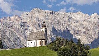
Dienten am Hochkönig is a municipality in the district of Zell am See, in the state of Salzburg in Austria. The population is 800.

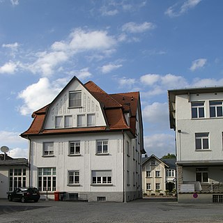
Rum is a market town located in the Austrian state of Tyrol on the eastern border of Innsbruck in the administrative district of Innsbruck-Land.
Altach is a municipality in the district of Feldkirch, in the westernmost Austrian state of Vorarlberg.

Dalaas is a municipality in the district of Bludenz in the Austrian state of Vorarlberg.
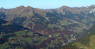
Sonntag is a municipality in the district of Bludenz in the Austrian state of Vorarlberg.

Vorchdorf is a market town in the district of Gmunden in Upper Austria, Austria, as well as the name of the municipal area ("Gemeinde") that the town and others occupy. As of the 2005 census, the town of Vorchdorf had a population of 7,287 inhabitants.

Ottnang am Hausruck is a municipality in the district of Vöcklabruck in the Austrian state of Upper Austria.