Erie County is a county in the Commonwealth of Pennsylvania. It is the northernmost county in Pennsylvania. As of the 2020 census, the population was 270,876. Its county seat is Erie. The county was created in 1800 and later organized in 1803.

Waterford is a borough in Erie County, Pennsylvania, United States. The population was 1,475 at the 2020 census. It is part of the Erie Metropolitan Statistical Area.

The zebra mussel is a small freshwater mussel. The species originates from the lakes of southern Russia and Ukraine, but has been accidentally introduced to numerous other areas and has become an invasive species in many countries worldwide. Since the 1980s, the species has invaded the Great Lakes, Hudson River, and Lake Travis.

French Creek is a tributary of the Allegheny River in northwestern Pennsylvania and western New York in the United States.

Fort Le Bœuf was a fort established by the French during 1753 on a fork of French Creek, in present-day Waterford, in northwest Pennsylvania. The fort was part of a line that included Fort Presque Isle, Fort Machault, and Fort Duquesne.

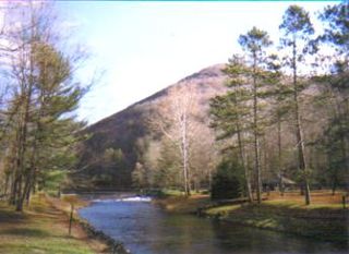
Bowman Creek is a tributary of the Susquehanna River in Luzerne County and Wyoming County, in Pennsylvania, in the United States. It is approximately 26 miles (42 km) long and flows through Ross Township and Lake Township in Luzerne County and Noxen Township, Monroe Township, and Eaton Township in Wyoming County. The watershed of the creek has an area of 120 square miles (310 km2). The creek is not designated as an impaired waterbody and its pH is close to neutral, although it has experienced some problems with acid rain. It has low concentrations of dissolved solids like calcium. The creek is relatively small in its upper reaches, but by Noxen, its width is 40 to 60 feet. It is also relatively shallow in many reaches. Rock formations in the watershed include the Catskill Formation, the Huntley Mountain Formation, Burgoon Sandstone, the Mauch Chunk Formation, the Pottsville Group, and the Pocono Formation. Soil associations in the creek's watershed include the Wellsboro-Morris-Oquaga association, the Oquaga-Lackawanna-Arnot association, the Mardin-Bath-Volusia association, and the Wyoming-Pope association.

Kettle Creek is a tributary of the West Branch Susquehanna River running through Tioga, Potter, and Clinton counties, in Pennsylvania. It is slightly less than 43 miles (69 km) long. Although many streams in the Kettle Creek watershed are considered "Class A Wild Trout streams" by the Pennsylvania Fish and Boat Commission, the lower reaches of the stream experience acid mine drainage. The upper reaches of the creek are considered to be very high-quality.
Conewango Creek is a 71-mile-long (114 km) tributary of the Allegheny River in Pennsylvania and western New York in the United States.
Elk Creek is a 30.4-mile (48.9 km) tributary of Lake Erie in Erie County, Pennsylvania in the United States. The creek is part of the Lake Erie Watershed and has a drainage basin of 99.4 square miles (257 km2). Elk Creek is stocked with brown trout and steelhead by the Pennsylvania Fish and Boat Commission.
LeBoeuf, Le Boeuf, LeBœuf or Le Bœuf may refer to:
Pennsylvania State Senate District 49 includes part of Erie County. It is currently represented by Republican Dan Laughlin.
LeBoeuf Creek is an 18-mile (29 km) long tributary of French Creek in Erie County, Pennsylvania in the United States. It has a drainage basin of 63.6 square miles (165 km2).

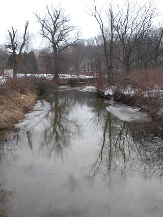
Briar Creek is a tributary of the Susquehanna River in Columbia County, Pennsylvania, in the United States. It is 7.77 miles (12.50 km) in length. The stream has a watershed area of 33.0 square miles. It flows through Briar Creek Township and the borough of Briar Creek. The area near the creek was originally inhabited by the Lenni Lenape and the Shawanese. European settlers arrived in the 1770s.

Hammersley Fork is a tributary of Kettle Creek in Potter County and Clinton County, Pennsylvania, in the United States. It is approximately 10.0 miles (16.1 km) long and flows through Warton Township in Potter County and Leidy Township in Clinton County. The watershed of the stream has an area of 32.7 square miles (85 km2). The main rock formation in the watershed is the Pottsville Formation. A number of bridges cross the stream.

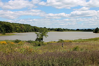
The Briar Creek Reservoir is a reservoir in Columbia County, Pennsylvania, in the United States. It has an area of 51.04 acres and is located in Briar Creek Township. The lake is situated on East Branch Briar Creek. The lake was constructed in the early 1970s for the purpose of flood control. It is dammed by the Briar Creek Dam. Shale and limestone rocks are found in the lake's vicinity. The lake was electrofished by the Pennsylvania Fish and Boat Commission in 2010. The reservoir is designated as Approved Trout Waters and is stocked with trout. More than a dozen species of fish inhabit it and several bird species are found in its vicinity. The lake is part of the 173-acre Briar Creek Lake Park. Fishing and boating are done in the reservoir.

Harveys Lake is a natural lake in Luzerne County, Pennsylvania. It has a surface area of approximately 621.5 acres, or nearly a square mile. The lake is situated entirely within the borough of Harveys Lake. By volume, it is the largest natural lake in Pennsylvania, and by surface area, is the second-largest lake. It is a glacial lake surrounded by hills and is the source of Harveys Creek, a tributary of the Susquehanna River. The lake has a stone masonry dam. The lake's watershed has an area of approximately 3600 acres. The majority of the watershed is forested, but there is some developed land as well. Nearly all of the developed land is close to the lake itself, and the lake is surrounded entirely by a paved road.
Pikes Creek Reservoir is a reservoir in Luzerne County, Pennsylvania, in the United States. It has a surface area of approximately 400 acres (160 ha) and is situated in Lehman Township, Jackson Township, and Plymouth Township. The lake is situated on Pikes Creek. It has a volume of approximately 3 billion gallons and is used as a water supply reservoir. As of 2013, it is inhabited by fifteen fish species. The reservoir is owned by the Pennsylvania-American Water Company, but shoreline fishing is permitted at designated spots.

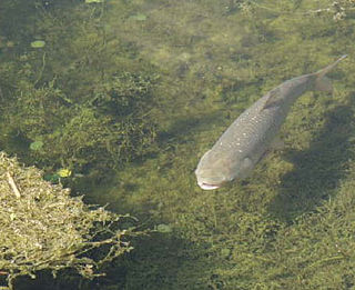
Asian carp, an invasive species species of fish introduced into North America, pose a major threat to the ecology, environment, economy, and way of life in the Upper Midwest and Great Lakes region of the United States and Canada. The term refers to a group of cyprinid fish species originally native to East Asia, of which include several are known to be invasive in the United States, and represent the most urgent potential danger to the ecology of the Great Lakes.

Medicine Lake is an inland lake located approximately 8 miles northwest of downtown Minneapolis, Minnesota. The lake lies within Hennepin County and is surrounded by two municipalities. At 902 acres, it is Hennepin County's second largest lake behind Lake Minnetonka and is popular among boaters, sailors, and fishers. Medicine Lake's most significant tributary is Plymouth Creek, which enters the lake at West Medicine Lake Park. The lake is also fed by rain and drainage from nearby cities, including Medicine Lake, Plymouth, New Hope, Golden Valley and Minnetonka.


