
The Saddle River flows south through much of Bergen County, New Jersey. The river runs through densely populated suburban areas for much of its course. The river takes its name from the river near Saddell in Argyll and Bute in Scotland.
Nescochague Creek is a 6.4-mile-long (10.3 km) tributary of the Mullica River in southern New Jersey in the United States. The creek starts just northwest of Hammonton, arcs along the southern boundary of Wharton State Forest, and joins the Mullica River just above County Route 542.

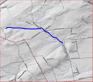
Rockaway Creek is a tributary of the Lamington River in Hunterdon County, New Jersey in the United States.
The Batsto River is a 22.9-mile-long (36.9 km) tributary of the Mullica River in the southern New Jersey Pine Barrens in the United States. The river also drains 49.42 square miles of land.
Beaver Brook is a 14.2-mile-long (22.9 km) tributary of the Pequest River in western New Jersey in the United States.
Friendship Creek is a 9.4-mile-long (15.1 km) tributary of the South Branch Rancocas Creek in southern New Jersey in the United States.
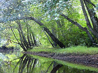
Pascack Brook is a tributary of the Hackensack River in Bergen County, New Jersey, United States.

The South Branch Raritan River is a 50-mile-long (80 km) tributary of the Raritan River in central New Jersey in the United States.

The North Branch Raritan River is a tributary of the Raritan River in central New Jersey in the United States.
Manalapan Brook is a tributary of the South River in Monmouth and Middlesex counties, New Jersey in the United States.
Big Flat Brook is the name of Flat Brook upstream of the inflow of Little Flat Brook, a tributary of the Delaware River, in Sussex County, New Jersey in the United States.

Flat Brook is an 11.6-mile-long (18.7 km) tributary of the Delaware River in Sussex County, New Jersey in the United States.

Stony Brook is a tributary of Green Brook in central New Jersey in the United States.

Ho-Ho-Kus Brook is a tributary of the Saddle River in Bergen County, New Jersey, in the United States.
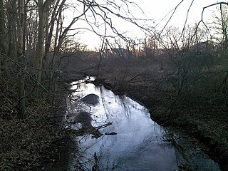
Clove Brook is a 12.0-mile-long (19.3 km) tributary of Papakating Creek in Sussex County, New Jersey in the United States.

The Black River, known as the Lamington River downstream of Pottersville, is a tributary of the North Branch Raritan River in central New Jersey in the United States.
Great Swamp Brook is a 9.1-mile-long (14.6 km) tributary of Nescochague Creek in the southern New Jersey Pine Barrens in the United States.

Middle Brook is a tributary of the Raritan River in Somerset, New Jersey, in the United States. The stream can be referred to as Rha-weigh-weiros, a Native American name meaning "running from a deep hole", on early maps of the area.

Great Ditch is a drainage ditch that drains areas of the Pigeon Swamp State Park in New Jersey in the United States.
Cat Tail Brook is a tributary of Rock Brook in central New Jersey in the United States.

