
Morehouse Parish is a parish located in the U.S. state of Louisiana. As of the 2020 census, the population was 25,629. The parish seat is Bastrop. The parish was formed in 1844.

Mer Rouge is a Village in Morehouse Parish, Louisiana, United States. The name is French for "Red Sea". The population was 491 at the 2020 census, down from 628 in 2010.

U.S. Route 425 (US 425) is a north–south United States highway that travels in the U.S. states of Mississippi, Louisiana, and Arkansas. It was first commissioned in 1989.
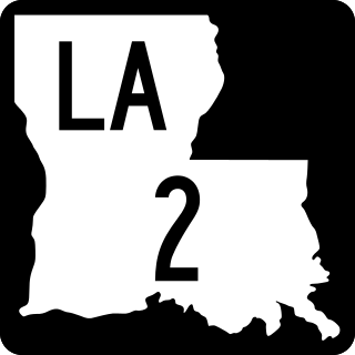
Louisiana Highway 2 (LA 2) is a state highway located in northern Louisiana. It runs 189.49 miles (304.95 km) in an east–west direction from the Texas state line southwest of Vivian to a junction with U.S. Highway 65 (US 65) near Lake Providence, just west of the Mississippi state line.
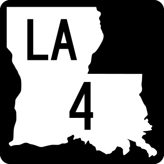
Louisiana Highway 4 (LA 4) is a state highway located in northern Louisiana. It runs 164.54 miles (264.80 km) in an east–west direction from U.S. Highway 71 (US 71) at Loggy Bayou to LA 605 in Newellton.
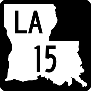
Louisiana Highway 15 (LA 15) is a state highway located in central and northern Louisiana. It runs 194.10 miles (312.37 km) in a north–south direction from the junction of LA 1 and LA 970 in Lettsworth to the concurrent U.S. Highways 63 and 167 in Lillie. The middle portion of the route, extending 56 miles (90 km) from Ferriday to just north of Mangham, is co-signed with US 425 and is a major four-lane highway through the area.

Louisiana Highway 17 (LA 17) is a state highway located in northeastern Louisiana. It runs 66.53 miles (107.07 km) in a north–south direction from the junction of U.S. Highway 425 (US 425), LA 4, LA 15, and LA 130 in Winnsboro to the Arkansas state line at Kilbourne.

U.S. Highway 65 (US 65) is a part of the United States Numbered Highway System that spans 966 miles (1,555 km) from Clayton, Louisiana to Albert Lea, Minnesota. Within the state of Louisiana, the highway travels 100.77 miles (162.17 km) from the national southern terminus at US 425/LA 15 in Clayton to the Arkansas state line north of Lake Providence.
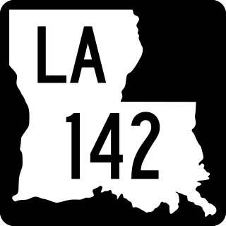
Louisiana Highway 142 (LA 142) is a state highway located in Morehouse Parish, Louisiana. It runs 8.75 miles (14.08 km) in a north–south direction from U.S. Highway 425 (US 425) north of Bastrop through Beekman to the Arkansas state line.

Louisiana Highway 139 (LA 139) is a state highway located in northeastern Louisiana. It runs 20.20 miles (32.51 km) in a north–south direction from U.S. Highway 80 (US 80) in Monroe to the junction of US 165, US 425, LA 2, and LA 593 in Bastrop.

Louisiana Highway 136 (LA 136) is a state highway located in Ouachita Parish, Louisiana that runs 3.50 miles (5.63 km) in a north–south direction from LA 134 at Fairbanks to a junction with U.S. Highway 165 (US 165) and LA 2 at the eastern limit of Sterlington.

Louisiana Highway 97 (LA 97) is a state highway located in southwestern Louisiana. It runs 21.55 miles (34.68 km) in a north–south direction from the junction of U.S. Highway 90 (US 90) and LA 102 in Jennings to U.S. Highway 190 (US 190) east of Basile.
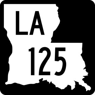
Louisiana Highway 125 (LA 125) is a state highway located in LaSalle Parish, Louisiana. It runs 12.51 miles (20.13 km) in a southwest to northeast direction from U.S. Highway 165 (US 165) in Tullos to a second junction with US 165 northeast of Olla.

Louisiana Highway 130 (LA 130) is a state highway located in Franklin Parish, Louisiana. It runs 7.32 miles (11.78 km) in an east–west direction from LA 135 north of Liddieville to a junction with U.S. Highway 425 (US 425), LA 4, LA 15, and LA 17 in Winnsboro.

Louisiana Highway 131 (LA 131) is a state highway located in Concordia Parish, Louisiana. It runs 6.80 miles (10.94 km) in a southwest to northeast direction from LA 15 in St. Genevieve to U.S. Highway 84 (US 84) and U.S. Highway 425 (US 425) in Vidalia.

Louisiana Highway 140 (LA 140) is a state highway located in Morehouse Parish, Louisiana. It runs 14.76 miles (23.75 km) in an east–west direction from U.S. Highway 425 (US 425) in Log Cabin to a junction with U.S. Highway 165 (US 165) and LA 599 in Bonita.


