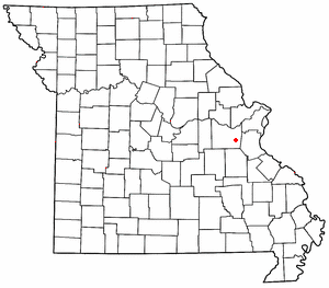
Catawissa is a small unincorporated community in Franklin County, Missouri, United States, on the St. Louis & San Francisco Railroad, 39 miles from St. Louis and four miles south-southwest of Pacific. It is located at the junction of Route N and Route O, southwest of Pacific. Winch Creek flows past the eastern margin of the community.

Grubville is an unincorporated community in western Jefferson County, Missouri, United States. It is located approximately one-half mile east of the Jefferson/Franklin County line. Missouri routes WW and Y meet at the community and Route 30 passes approximately one mile to the north. Nearby communities include Dittmer and Morse Mill to the east and Lonedell and Luebbering to the west in Franklin County. Jones Creek flows from the east side of the community to its confluence with Big River approximately five miles to the east.
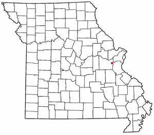
Robertsville is an unincorporated community in eastern Franklin County, Missouri, United States. It is located approximately six miles (10 km) southwest of Pacific on Missouri Route O and is home to the 1,225-acre (4.96 km2) Robertsville State Park.

Moselle is an unincorporated community in Franklin County, Missouri, United States. It is located approximately five miles northeast of St. Clair.
Lonedell is an unincorporated community in southeastern Franklin County, Missouri, United States. It is at the intersection of Route 30 and routes N and FF and approximately eight miles east of St. Clair. The Little Meramac River flows just south of the community.
New Hartford is an unincorporated community in southern Pike County, Missouri, United States. It is located on Route 161, approximately fourteen miles south of Bowling Green.
Dutzow is an unincorporated community in southeastern Warren County, Missouri, United States. It is located on Route 94, approximately three miles north of Washington. Located near the Missouri River, it is one of the oldest German communities in the state.
Beemont is an unincorporated community in western Franklin County, in the U.S. state of Missouri. The community is located on Missouri Route ZZ on the west side of Boeuf Creek one half mile east of the Franklin-Gasconade county line.
Boles is an unincorporated community in northern Franklin County, in the U.S. state of Missouri.
Clover Bottom is an unincorporated community in Franklin County, in the U.S. state of Missouri. The community is at the intersection of routes YY and AJ approximately 3.5 miles west of Krakow.
Dissen is an unincorporated community in western Franklin County, in the U.S. state of Missouri. The community is located on the north side of Boeuf Creek along Missouri Route Y and four miles southwest of New Haven.
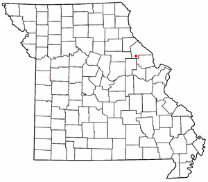
Dundee is an unincorporated community in northern Franklin County, in the U.S. state of Missouri. The community is above the Missouri River floodplain on Missouri Route 100 approximately six miles northwest of Washington and five miles east of New Haven.
George is an extinct town in Franklin County, in the U.S. state of Missouri.
Gildehouse is an unincorporated community in Franklin County, in the U.S. state of Missouri.
Hemker (Hemkerville) was an unincorporated community in Franklin County, in the U.S. state of Missouri, but was dissolved in 1970 after the last residents moved out. The community is now considered part of Robertsville, MO.
Huff is an unincorporated community in Franklin County, in the U.S. state of Missouri.
Kiel is an unincorporated community in northwest Franklin County, in the U.S. state of Missouri.
Maupin is an unincorporated community in Franklin County, in the U.S. state of Missouri.
Mount Hope (also spelled is an unincorporated community in southeastern Franklin County, in the U.S. state of Missouri.
Port Hudson is an unincorporated community in western Franklin County, in the U.S. state of Missouri. The community is on Missouri Route C and approximately two miles north of Leslie and US Route 50.

