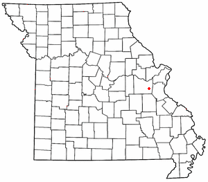
Catawissa is a small unincorporated community in Franklin County, Missouri, United States, on the St. Louis & San Francisco Railroad, 39 miles from St. Louis and four miles south-southwest of Pacific. It is located at the junction of Route N and Route O, southwest of Pacific. Winch Creek flows past the eastern margin of the community.

Tunas is an unincorporated community in northern Dallas County, Missouri, United States. It lies fourteen miles north of Buffalo on Route 73 and approximately seven miles east of Urbana on Route D. The town is located on Route 73, just southwest of the Little Niangua River. Tunas is part of the Springfield, Missouri Metropolitan Statistical Area.
Cape Fair is an unincorporated community in Stone County, Missouri, United States. It is located on Route 76 and the southern terminus of Route 173. Cape Fair is on the west side of the James River arm of Table Rock Lake. The community is part of the Branson, Missouri Micropolitan Statistical Area. The ZIP Code for Cape Fair is 65624.

Lesterville is an unincorporated community in southeast Missouri, United States. It is located in Reynolds County on Routes 21, 49, and 72 near the Black River. The ZIP Code for Lesterville is 63654.

Vichy is an unincorporated community in southern Maries County, Missouri, United States. It is located on U.S. Route 63, approximately ten miles north of Rolla. The community was founded in 1880 and is named after Vichy, France. A post office called Vichy has been in operation since 1880. The Rolla National Airport, a former U.S. Army airfield owned and operated by the City of Rolla, with two 5,500 ft (1,700 m) asphalt runways, is located nearby. The ZIP Code for Vichy is 65580.

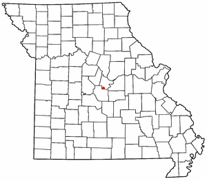
Grubville is an unincorporated community in western Jefferson County, Missouri, United States. It is located approximately one-half mile east of the Jefferson/Franklin County line. Missouri routes WW and Y meet at the community and Route 30 passes approximately one mile to the north. Nearby communities include Dittmer and Morse Mill to the east and Lonedell and Luebbering to the west in Franklin County. Jones Creek flows from the east side of the community to its confluence with Big River approximately five miles to the east.

Valles Mines is an unincorporated community in southern Jefferson County, Missouri, United States. It is located approximately seven miles south of De Soto. It is located on Missouri Route V less than one mile west of U.S. Route 67. Joachim Creek flows past the north side of the community. The ZIP Code for Valles Mines is 63087.
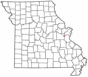
Robertsville is an unincorporated community in eastern Franklin County, Missouri, United States. It is located approximately six miles (10 km) southwest of Pacific on Missouri Route O and is home to the 1,225-acre (4.96 km2) Robertsville State Park.

Luebbering is an unincorporated community in eastern Franklin County, Missouri, United States. It is located on Missouri Route FF, approximately ten miles southeast of St. Clair and about 2.5 miles south of Lonedell.
Beaufort is an unincorporated community in western Franklin County, Missouri, United States. It is located at the intersection of U.S. Route 50 and Route 185, approximately 11 miles west of Union.

Knob Lick is an unincorporated community in southern Saint Francois County, Missouri, United States. It is located on Missouri Route DD, just east of U.S. Route 67, approximately eight miles south of Farmington.
Williamsburg is an unincorporated community in eastern Callaway County, Missouri, United States. It is located on Missouri Supplemental Route D just north of Interstate 70, approximately thirteen miles northeast of Fulton. The Whetstone Creek Conservation Area along Whetstone Creek lies about one mile to the north. The ZIP Code for Williamsburg is 63388.

Loose Creek is an unincorporated community in Osage County, Missouri, United States. It is located north of U.S. Route 50, approximately eight miles east of Missouri's capital of Jefferson City. The ZIP Code for Loose Creek is 65054.
Henley is an unincorporated community in southwestern Cole County, Missouri, United States. It is located twelve miles east of Eldon. The ZIP Code for Henley is 65040.

Stewart is an unincorporated community and census-designated place in central Rome Township, Athens County, Ohio, United States. The population was 221 at the 2020 census. It has a post office with the ZIP code 45778.
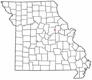
Maupin is an unincorporated community in Franklin County, in the U.S. state of Missouri.
Mount Hope (also spelled is an unincorporated community in southeastern Franklin County, in the U.S. state of Missouri.
Calvey Township is an unincorporated township in Franklin County, in the U.S. state of Missouri.
Oermann is an unincorporated community in western Jefferson County, in the U.S. state of Missouri. The community is located on Missouri Route 30 approximately two miles northeast of Grubville and two miles southwest of Dittmer.
Dawson is an unincorporated community in eastern Wright County, Missouri, United States. Dawson is located on Missouri Route 95, approximately nine miles north of Mountain Grove and three miles south of the Route 95 - Missouri Route 38 junction.