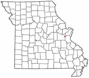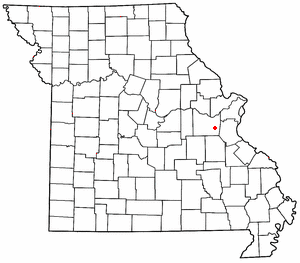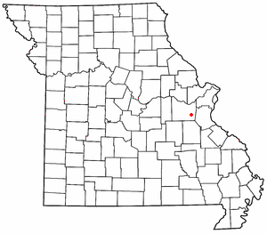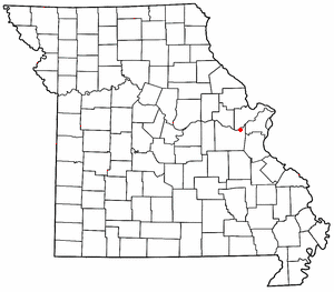
Grubville is an unincorporated community in western Jefferson County, Missouri, United States. It is located approximately one-half mile east of the Jefferson/Franklin County line. Missouri routes WW and Y meet at the community and Route 30 passes approximately one mile to the north. Nearby communities include Dittmer and Morse Mill to the east and Lonedell and Luebbering to the west in Franklin County. Jones Creek flows from the east side of the community to its confluence with Big River approximately five miles to the east.

Robertsville is an unincorporated community in eastern Franklin County, Missouri, United States. It is located approximately six miles (10 km) southwest of Pacific on Missouri Route O and is home to the 1,225-acre (4.96 km2) Robertsville State Park.

Lonedell is an unincorporated community in southeastern Franklin County, Missouri, United States. It is at the intersection of Route 30 and routes N and FF and approximately eight miles east of St. Clair. The Little Meramac River flows just south of the community.

Luebbering is an unincorporated community in eastern Franklin County, Missouri, United States. It is located on Missouri Route FF, approximately ten miles southeast of St. Clair and about 2.5 miles south of Lonedell.

St. Albans is an unincorporated community in northeastern Franklin County, Missouri, United States. It lies approximately five miles northeast of Labadie and about seven miles west of Wildwood. St. Albans is above the Missouri River floodplain. The town borders a small section of St. Charles County which, unlike the rest of the county, lies on the south side of the Missouri River.
Osage City is an unincorporated community in Cole County, in the U.S. state of Missouri.

Papinville is an unincorporated community in southern Bates County, Missouri.
Boles is an unincorporated community in northern Franklin County, in the U.S. state of Missouri.
Calvey is an extinct town in Franklin County, in the U.S. state of Missouri.
George is an extinct town in Franklin County, in the U.S. state of Missouri.
Gildehouse is an unincorporated community in Franklin County, in the U.S. state of Missouri.
Hemker (Hemkerville) was an unincorporated community in Franklin County, in the U.S. state of Missouri, but was dissolved in 1970 after the last residents moved out. The community is now considered part of Robertsville, MO.
Huff is an unincorporated community in Franklin County, in the U.S. state of Missouri.
Logan Branch is a stream in Franklin and Gasconade County in the U.S. state of Missouri. It is a tributary of the Bourbeuse River.
Maupin is an unincorporated community in Franklin County, in the U.S. state of Missouri.
Mount Hope (also spelled is an unincorporated community in southeastern Franklin County, in the U.S. state of Missouri.
Moselle Iron Furnace Stack is a historic iron furnace stack located near Moselle, Franklin County, Missouri. It was built in 1848-1849 by the Moselle Iron Furnace (1850-1854), and later operated as the Furnace of the Franklin Iron Mining Co. (1855-1859), and Moselle Iron Company (1874-1875). It is 31 feet high and constructed of cut stone blocks. The furnace was closed in early June 1875.
Bliss is an unincorporated community in northeast Washington County, in the U.S. state of Missouri. The community is on Mineral Fork adjacent to Missouri Route 47.
Fertile is an unincorporated community in Washington County, in the U.S. state of Missouri.
Shirley is an unincorporated community in Washington County, in the U.S. state of Missouri.


