Lyles, Tennessee | |
|---|---|
Census-designated place | |
 Lyles Post Office | |
 Lyles  Lyles | |
| Coordinates: 35°55′11″N87°20′42″W / 35.91972°N 87.34500°W | |
| Country | United States |
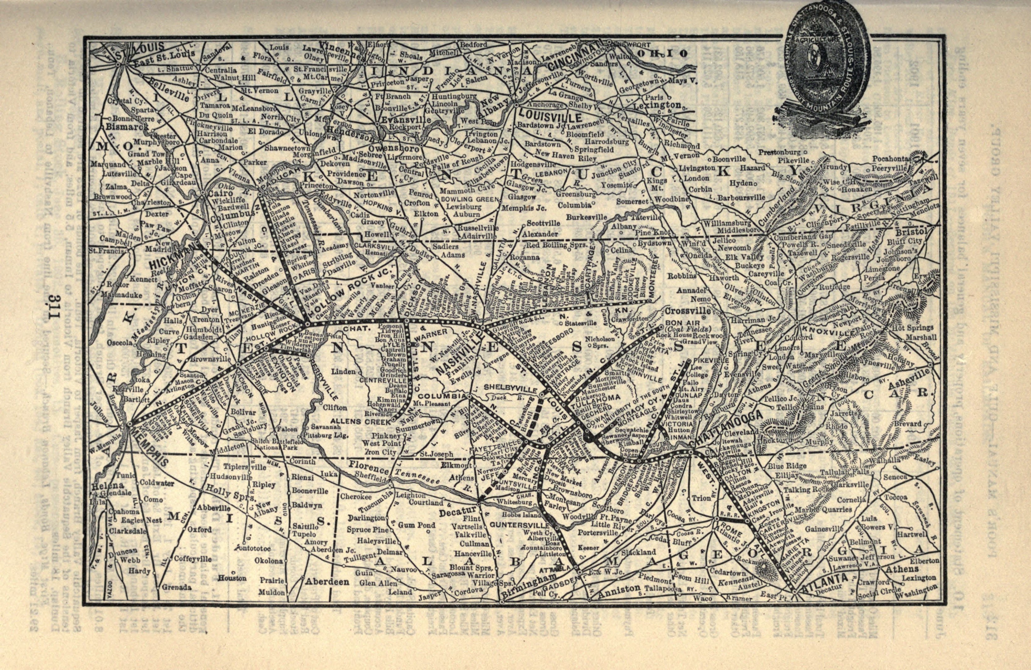
| State | Tennessee |
| County | Hickman |
| Area | |
• Total | 2.62 sq mi (6.78 km2) |
| • Land | 2.62 sq mi (6.78 km2) |
| • Water | 0 sq mi (0.00 km2) |
| Elevation | 866 ft (264 m) |
| Population | |
• Total | 763 |
| • Density | 291.3/sq mi (112.47/km2) |
| Time zone | UTC-6 (Central (CST)) |
| • Summer (DST) | UTC-5 (CDT) |
| ZIP code | 37098 |
| Area code | 931 |
| GNIS feature ID | 1292325 [3] |
Lyles is a rural census-designated place and unincorporated community in Hickman County, Tennessee, United States.
