Marion Township | |
|---|---|
 | |
| Coordinates: 39°46′07″N94°40′21″W / 39.7685694°N 94.6724039°W | |
| Country | |
| State | |
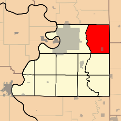
| County | Buchanan |
| Area | |
• Total | 49.85 sq mi (129.1 km2) |
| • Land | 49.25 sq mi (127.6 km2) |
| • Water | 0.6 sq mi (1.6 km2) 1.2% |
| Elevation | 860 ft (260 m) |
| Population | |
• Total | 1,159 |
| • Density | 23.5/sq mi (9.1/km2) |
| FIPS code | 29-02145938 [1] |
| GNIS feature ID | 766342 [2] |
Marion Township is a township in Buchanan County, Missouri, United States. [2] At the 2020 census, its population was 1159. [3]
Contents
Marion Township was established in 1837. [4]
