Aberdeen is a city in North East Scotland, and is the third most populous city in the country. Aberdeen is one of Scotland's 32 local government council areas, and has a 2020 population estimate of 198,590 for the city of Aberdeen, and 227,560 for the local council area making it the United Kingdom's 39th most populous built-up area. The city is 93 mi (150 km) northeast of Edinburgh and 398 mi (641 km) north of London, and is the northernmost major city in the United Kingdom. Aberdeen has a long, sandy coastline and features an oceanic climate, with cool summers and mild, rainy winters.
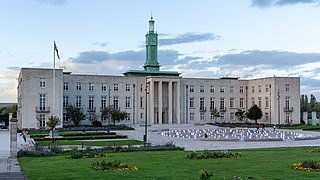
Walthamstow is a large town in the London Borough of Waltham Forest, around 7+1⁄2 miles (12 km) northeast of Central London. Traditionally part of Essex and now within Greater London for ceremonial and administrative purposes, the town borders Chingford to the north, Snaresbrook and South Woodford to the east, Leyton and Leytonstone to the south, and Tottenham to the west. At the 2011 census, the town had a population of approximately 109,424.
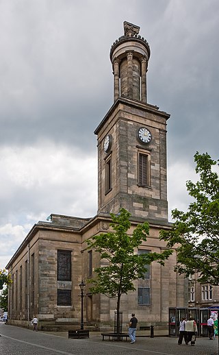
Elgin is a town and formerly a Royal Burgh in Moray, on the North Coast of Scotland. It is the administrative and commercial centre for Moray. The town originated to the south of the River Lossie on the higher ground above the floodplain where the town of Birnie is. There, the church of Birnie Kirk was built in 1140 and serves the community to this day.

Westhill is a suburban town in Aberdeenshire, Scotland, located 7 miles (11 km) west of the city of Aberdeen.

Buckie is a burgh town on the Moray Firth coast of Scotland. Historically in Banffshire, Buckie was the largest town in the county until the administrative area was abolished in 1975. The town is the third largest in the Moray council area after Elgin and Forres and within the definitions of statistics published by the General Register Office for Scotland was ranked at number 75 in the list of population estimates for settlements in Scotland mid-year 2006. Buckie is virtually equidistant to Banff to the east and Elgin to the west, with both approximately 17 miles distant whilst Keith lies 12 mi (19 km) to the south by road.
Peterculter, also known as Culter, is a suburb of Aberdeen, Scotland, about eight miles (13 km) inland from Aberdeen city centre. Peterculter is on the northern banks of the River Dee, near the confluences with Crynoch Burn and Leuchar Burn. Following the 1996 Scottish council boundary changes it became part of the Lower Deeside ward in the Aberdeen City council area.

Aberdeenshire or the County of Aberdeen is a historic county and registration county of Scotland. The area of the county, excluding the Aberdeen City council area itself, is also a lieutenancy area. The county borders Kincardineshire, Angus and Perthshire to the south, Inverness-shire and Banffshire to the west, and the North Sea to the north and east. It has a coast-line of 65 miles (105 km). The county gives its name to the modern Aberdeenshire council area, which covers a larger area than the historic county.

Mannofield is an affluent area of Aberdeen, Scotland. It is situated in the west end of the city and is accessible by travelling through the A93 Aberdeen–Perth road, the A90 Edinburgh to Fraserburgh road and the A96. Mannofield is also a short walking distance away from Aberdeen City Centre and has good road and bus links to the city and beyond. Much of Aberdeen's water is supplied by the water works/reservoir on St John's Terrace and the reservoir on Craigton Road.

Laurencekirk, locally known as Lournie, is a small town in the historic county of Kincardineshire, Scotland, just off the A90 Dundee to Aberdeen main road. It is administered as part of Aberdeenshire. It is the largest settlement in the Howe o' the Mearns area and houses the local secondary school; Mearns Academy, which was established in 1895 and awarded the Charter Mark in 2003.
Crimond is a village in Aberdeenshire, in the northeast of Scotland, located 9 miles (14 km) northwest of the port of Peterhead and just over 2 miles (3.2 km) from the coast.

Bucksburn is a suburb of Aberdeen, Scotland, named after the stream that flows through it. The stream is called Bucks Burn. Bucksburn was formerly a market village before being swallowed up by the spread of the city. The area is bordered by countryside, in particular Kirkhill Forest and the land surrounding Brimmond Hill.
Tillydrone is an area of Aberdeen, Scotland. Lying north of the city centre and slightly north-west of Old Aberdeen, it is roughly bounded by the River Don, St Machar Drive, and the main Aberdeen-Inverness railway line.

St Cyrus or Saint Cyrus, formerly Ecclesgreig is a village in the far south of Aberdeenshire, Scotland.

Newmachar is a village in Aberdeenshire, Scotland, about 10 miles (16 km) to the north-west of Aberdeen.

Queen's Cross is an area in the West End of Aberdeen, Scotland. It is located just west of the main thoroughfare of Union Street and about 1.5 miles (2.4 km) from the geographical town centre at Mercat Cross.

Rosemount is an area of Aberdeen, Scotland. When referring to Rosemount, the area is generally taken to include Rosemount Place and the surrounding streets. It is situated to the north west of the city centre and is bounded by Berryden, Midstocket and Queens Cross.
The Politics of Aberdeen, Scotland have changed significantly in recent years. In 1996, under the Local Government etc. (Scotland) Act 1994, Grampian Regional Council and Aberdeen District Council were dissolved, creating the new unitary Aberdeen City Council to represent the city's council area.
Holburn West Church was a congregation of the Church of Scotland. The Church united with the congregations of Midstocket Church, Queen's Cross Church, Aberdeen and Rubislaw Church to form Fountainhall Church in June 2023.
Woodside is an area of Aberdeen. It came into existence as a quoad sacra parish within the parish of Old Machar in 1834, under an act of The General Assembly of the Church of Scotland of 31 May 1834, and was named for the principal residence of the area, Woodside House.
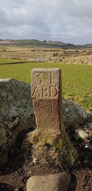
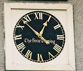
The March Stones of Aberdeen are boundary marker stones encircling the land owned by the Scottish royal burgh, dating from before 1525.