Aberdeen is a city in North East Scotland, and is the third most populous Scottish city. Historically, Aberdeen was within the historic county of Aberdeenshire, but is now separate from the council area of Aberdeenshire.
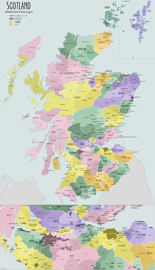
The Shires of Scotland, or Counties of Scotland, were historic subdivisions of Scotland.

The River Dee is a river in Aberdeenshire, Scotland. It rises in the Cairngorms and flows through southern Aberdeenshire to reach the North Sea at Aberdeen. The area it passes through is known as Deeside, or Royal Deeside in the region between Braemar and Banchory because Queen Victoria came for a visit there in 1848 and greatly enjoyed herself. She and her husband, Prince Albert, built Balmoral Castle there which replaced an older castle.

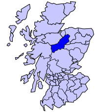
Banffshire is a historic county in Scotland. The county town is Banff, although the largest settlement is Buckie to the west. The historic county ceased to be used for local government purposes in 1975. Since 1996 the area has been split between the Aberdeenshire and Moray council areas. The historic county boundaries of Banffshire are still used for certain functions, being a registration county and lieutenancy area.
Badenoch and Strathspey was a local government district, created in 1975 as one of eight districts within the Highland region in Scotland. The district was abolished in 1996 when Highland was made a single-tier council area. Since then, the Highland Council has had a Badenoch and Strathspey area committee covering the area.

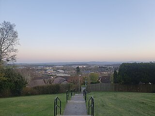
Peterculter, also known as Culter, is an outer suburb of Aberdeen, Scotland, about eight miles (13 km) from the city centre. It lies on the north bank of the River Dee, at its confluence with the Culter Burn. Following the 1996 Scottish council boundary changes it became part of the Lower Deeside ward in the Aberdeen City council area.

The Dornoch Firth is a firth on the east coast of Highland, in northern Scotland. It forms part of the boundary between Ross and Cromarty, to the south, and Sutherland, to the north. The firth is designated as a national scenic area, one of 40 such areas in Scotland. The national scenic area covers 15,782 ha in total, of which 4,240 ha is the marine area of the firth below low tide. A review of the national scenic areas by Scottish Natural Heritage in 2010 commented:
By comparison with other east coast firths the Dornoch Firth is narrow and sinuous, yet it exhibits within its compass a surprising variety of landscapes. It is enclosed by abrupt rounded granitic hills clad in heather moor and scree, their Gaelic names of cnoc, meall and creag giving the clue to their character. Their lower slopes are frequently wooded, oakwoods being a noticeable feature of the area, but with other deciduous and coniferous species represented in plantations which vary from the policy plantings of Skibo Castle to the pines of the Struie Forest.

Crewe Toll is an area in Edinburgh, the Scottish capital.
Elrick is a small village on the A944 road 7+1⁄2 miles (12.1 km) west of the city of Aberdeen, Scotland. The name derives from a Gaelic word meaning a place where deer were driven for hunting. Elrick is also a common surname in the local area.

Royal Cornhill Hospital is a psychiatric hospital in Westburn Road, Aberdeen, Scotland. It is managed by NHS Grampian.
Kinmuck, Aberdeenshire, is a small village just outside Inverurie in the north-east of Scotland.

Foveran is the name of both a parish and village in Aberdeenshire, Scotland. The village is located 11 miles (18 km) north of Aberdeen and 4 miles (6.4 km) southeast of Ellon; the main group of houses and the village school are located adjacent to the main A90 trunk road.
The TD postcode area, also known as the Galashiels postcode area, is a group of fifteen postcode districts in south-east Scotland and the far north-east of England, within seventeen post towns. These cover most of the Scottish Borders council area and the northernmost part of Northumberland, plus a part of south-eastern East Lothian and a very small part of Cumbria.

Altens is a district in Aberdeen, on the north-east coast of Scotland.
Ardoyne is a rural area near Insch in Aberdeenshire, Scotland.
Bogniebrae is a small rural settlement in Aberdeenshire, Scotland. It is located at the junction of the A97 and B9001 roads, six miles from Huntly.

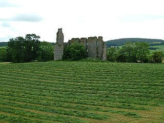
Brathens is a village in Aberdeenshire, Scotland.

The Ordnance Survey (OS) is the national mapping agency for Great Britain. The agency's name indicates its original military purpose, which was to map Scotland in the wake of the Jacobite rising of 1745. There was also a more general and nationwide need in light of the potential threat of invasion during the Napoleonic Wars. Since 1 April 2015, the Ordnance Survey has operated as Ordnance Survey Ltd, a government-owned company, 100% in public ownership. The Ordnance Survey Board remains accountable to the Secretary of State for Science, Innovation and Technology. It was also a member of the Public Data Group.
Events from the year 1843 in Scotland.