Monticello Township | |
|---|---|
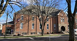
| Township Office and Allerton Library | |
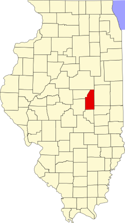
| Location in Piatt County | |
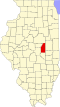
| Piatt County's location in Illinois | |
| Coordinates: 40°00′34″N88°32′17″W / 40.00944°N 88.53806°W | |
| Country | United States |
| State | Illinois |
| County | Piatt |
| Established | November 8, 1859 |
| Area | |
• Total | 48.11 sq mi (124.6 km2) |
| • Land | 48.05 sq mi (124.4 km2) |
| • Water | 0.06 sq mi (0.2 km2) 0.12% |
| Elevation | 712 ft (217 m) |
| Population (2010) | |
| 5,940 | |
| • Density | 122.9/sq mi (47.5/km2) |
| Time zone | UTC-6 (CST) |
| • Summer (DST) | UTC-5 (CDT) |
| FIPS code | 17-147-50257 |
Monticello Township is a township in Piatt County, Illinois, USA. As of the 2010 census, its population was 5,906 and it contained 2,651 housing units. [2]
Monticello is Township 18 North, Range 6 East and part of Township 18 North, Range 5 East of the Third Principal Meridian.
According to the 2010 census, the township has a total area of 48.11 square miles (124.6 km2), of which 48.05 square miles (124.4 km2) (or 99.88%) is land and 0.06 square miles (0.16 km2) (or 0.12%) is water. [2] The streams of Camp Creek and Goose Creek are tributaries of the Sangamon River which runs through this township.
The township contains several cemeteries: Haneline (Section 14, T. 18 N., R. 5 E.), Monticello, Monticello and Woolington. Barnes Cemetery is in Section 1, T. 18 N., R. 6 E.
Haneline School No. 69 (Section 23, T. 18 N., R. 5 E.), a brick building, is now a residence on Allerton Road.
| Census | Pop. | Note | %± |
|---|---|---|---|
| 2016 (est.) | 5,940 | [1] | |
| U.S. Decennial Census [3] | |||
| | This section needs expansion. You can help by adding to it. (July 2025) |