Sangamon Township | |
|---|---|
 Grain elevators in the unincorporated hamlet of Galesville, in section 32 of Sangamon township. | |
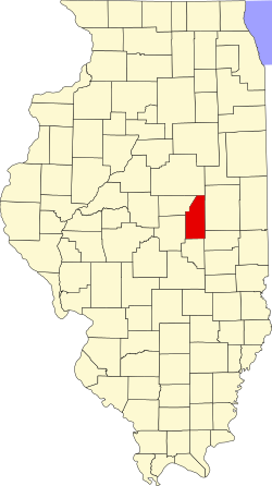
 Location in Piatt County | |
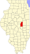
 Piatt County's location in Illinois | |
| Coordinates: 40°06′40″N88°30′52″W / 40.11111°N 88.51444°W | |
| Country | United States |
| State | Illinois |
| County | Piatt |
| Established | November 8, 1859 |
| Area | |
• Total | 47.25 sq mi (122.4 km2) |
| • Land | 47.18 sq mi (122.2 km2) |
| • Water | 0.06 sq mi (0.16 km2) 0.13% |
| Elevation | 673 ft (205 m) |
| Population (2010) | |
| 2,351 | |
| • Density | 50/sq mi (19/km2) |
| Time zone | UTC-6 (CST) |
| • Summer (DST) | UTC-5 (CDT) |
| FIPS code | 17-147-67587 |
Sangamon Township is a township in Piatt County, Illinois, USA. As of the 2010 census, its population was 2,357 and it contained 929 housing units. [2]