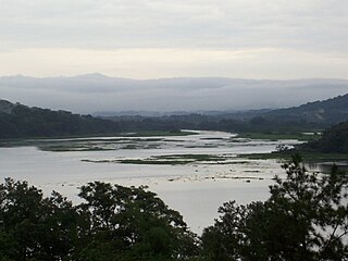
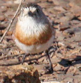
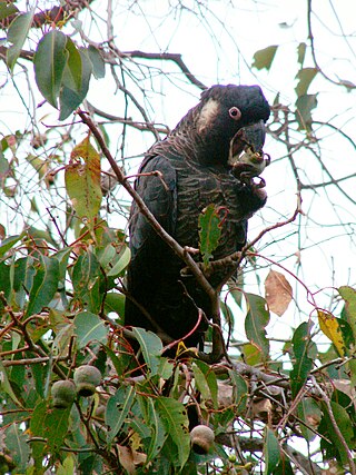
Mavuradonha is a range of mountains lying north of Centenary on the Zambezi Escarpment in Northern Zimbabwe. It was declared a protected area in 1987 under the CAMPFIRE programme, and a national monument in 2017. The name in Shona means 'Land of Falling Water' or simply 'water falls'.

An Important Bird and Biodiversity Area (IBA) is an area identified using an internationally agreed set of criteria as being globally important for the conservation of bird populations.
The Viphya Mountains, also known as the Viphya Plateau or Viphya Highlands, are a mountain range in located in Chikangawa in Malawi's Northern Region.

Signal Hill is a mountain and the second-highest point on Antigua island, in Antigua and Barbuda.
Tarcutta Hills Reserve is a 738-hectare (1,820-acre) nature reserve on the lower western slopes of the Great Dividing Range in central west New South Wales, Australia. It is 427 kilometres (265 mi) south-west of Sydney, close to the Hume Highway, and 15 kilometres (9.3 mi) south of Tarcutta. It is owned and managed by Bush Heritage Australia (BHA), which purchased it in 1999, and it is listed on the Register of the National Estate.
The Arsiani Range or is a mountain range in Eastern Anatolia Region, northeast Turkey, and the Autonomous Republic of Adjara, southwest Georgia. The range, continuing the Lesser Caucasus to the Armenian Highlands, forms the watershed between the river valleys of Çoruh/Chorokhi and Kura/Mtkvari. The highest peak is that of "Yalnızçam" or "Arsiani".

Phnom Aural Wildlife Sanctuary is a protected area in central Cambodia, covering 2,544.85 km2 (982.57 sq mi). It was established in 1993. It is named after Phnom Aural, the country's tallest peak at 1,810 m. The Aural mountains are part of the much larger Cardamom Mountains.

The Chagres National Park is a nature park and protected area created in 1986 located between the Province of Panama and Colon, in the Eastern sector of the Panama Canal with a total surface area of 129,000 ha.

Grass Hills National Park is a protected area in the Western Ghats, India, and a part of the Anamalai Tiger Reserve, forming its boundary with Eravikulam National Park in neighbouring Kerala state. It is not an actual National Park. It spreads over 65,000 hectares. The landscape is a combination of peaks and high plateaus above 2,000 metres (6,600 ft) MSL composed of montane shola-grassland ecosystem that is unique to the higher ranges of the Western Ghats of Kerala and Tamil Nadu.

Liguasan Marsh, also known as Ligawasan Marsh, is the largest swamp and marsh area in south-central Mindanao, Philippines. It spans approximately 2,200 square kilometers across the provinces of Cotabato, Maguindanao del Norte, Maguindanao del Sur, and Sultan Kudarat. About 300 square kilometers of the marsh is designated as a game refuge and bird sanctuary.

Granite Downs was a 9,000-square-kilometre (3,475 sq mi) cattle station in arid northern South Australia.

Mount Lyndhurst Important Bird Area comprises a 93 km2 part of Mount Lyndhurst Station, a pastoral lease lying on the north-west margin of the Flinders Ranges, about 30 km east of the town of Lyndhurst, South Australia. It is accessible via the Strzelecki Track.

Mudgee-Wollar Important Bird Area is a 1627 km2 tract of land in the Central West region of New South Wales, Australia. It lies about 250 km west of Sydney, extending eastwards from the towns of Mudgee and Gulgong, and encompassing the town of Wollar. At its eastern end it adjoins the Greater Blue Mountains Important Bird Area (IBA).

The Lakes Important Bird Area comprises some 72 km2 of land near the community of The Lakes in the Shire of Mundaring on the eastern fringe of the metropolitan area of Perth, Western Australia. It is an important site for the conservation of threatened Western Australian black cockatoos.

The Traprock Important Bird Area comprises a 627 km2 tract of land in the Darling Downs region of south-eastern Queensland, Australia.

The Warby–Chiltern Box–Ironbark Region comprises a cluster of separate blocks of remnant box-ironbark forest habitat, with a collective area of 253 km2, in north eastern Victoria, south-eastern Australia.

The Elephant Cays are a group of small islands lying towards the southern end of Falkland Sound, just to the north-west of Speedwell Island, in the Falkland Islands of the South Atlantic Ocean. The group, with a collective area of 248 ha includes Golden Knob, Sandy Cay, West, Southwest and Stinker Islands. It has been identified by BirdLife International as an Important Bird Area (IBA).
The Kattasay and Daganasay Reservoirs Important Bird Area comprises two irrigation reservoirs and their surrounds in central Sughd Province in northwestern Tajikistan. Together, they have been identified as a 98 square kilometres (38 sq mi) Important Bird Area (IBA) by BirdLife International.
Mount Otzi Central Forest Reserve is a 188 square kilometer forest reserve located in Moyo District, West Nile Region, Uganda. It is situated on an escarpment that overlooks the confluence of River Achwa and the White Nile as it flows into South Sudan. The reserve is bordered on the North by the International border of South Sudan and to the South by the Moyo-Adjumani District border. Mount Otzi Forest Reserve is an important place for the surrounding people because bamboo poles and other non-timber goods are crucial for building materials and also provide lumber. Not only that, but the National Forestry Authority Department has designated it as an Important Biodiversity Conservation Area due to its importance as a large water catchment area.

Miklavatn in Borgarsveit is a lake in Skagafjörður, Iceland near the head of the west side of the fjord. The lake is oblong and lies parallel to the western Héraðsvötn, narrowing slightly in the north. From the northern end, there is runoff into the Héraðsvötn. It is called Víkin, and to the north is the southern end of the Sauðárkrókur Airport.


