This article needs additional citations for verification .(May 2021) |
Nakhon Phanom Airport ท่าอากาศยานนครพนม | |||||||||||
|---|---|---|---|---|---|---|---|---|---|---|---|
| Summary | |||||||||||
| Airport type | Public | ||||||||||
| Owner | Royal Thai Navy | ||||||||||
| Operator | Department of Airports | ||||||||||
| Serves | Nakhon Phanom | ||||||||||
| Location | Nong Yat, Mueang, Nakhon Phanom, Thailand | ||||||||||
| Opened | 1 June 1963 | ||||||||||
| Elevation AMSL | 587 ft / 179 m | ||||||||||
| Coordinates | 17°23′02″N104°38′35″E / 17.38389°N 104.64306°E | ||||||||||
| Website | minisite | ||||||||||
| Maps | |||||||||||
 | |||||||||||
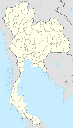 KOP/VTUW Location of airport in Thailand | |||||||||||
 Interactive map of Nakhon Phanom Airport | |||||||||||
| Runways | |||||||||||
| |||||||||||
| Statistics (2025) | |||||||||||
| |||||||||||
| Sources: Department of Airports | |||||||||||
Nakhon Phanom Airport( IATA : KOP, ICAO : VTUW) is in Nong Yat subdistrict, Mueang Nakhon Phanom district, Nakhon Phanom province in northeastern Thailand. It was first constructed in 1962 by Seabees of U.S.N. Mobile Construction Battalion 3. The project was funded by the Military Assistance Program (MAP). [1]