Ranong Airport

Last updated
Ranong Airport

ท่าอากาศยานระนอง
Summary
Airport typePublic
Operator Department of Airports
Serves Ranong
LocationRatchakrut, Mueang, Ranong, Thailand
Opened18 May 1995;30 years ago (1995-05-18)
Elevation  AMSL 57 ft / 17 m
Coordinates 09°46′39″N98°35′07″E / 9.77750°N 98.58528°E / 9.77750; 98.58528
Maps
Ranong Airport
Thailand adm location map.svg
Airplane silhouette.svg
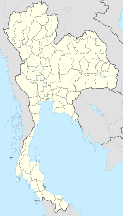
UNN/VTSR
Location of airport in Thailand
Ranong Airport
Runways
Direction LengthSurface
mft
02/202,0006,562 Concrete
Statistics (2024)
Passengers122,255 Decrease2.svg7.88%
Aircraft movements809 Decrease2.svg13.66%
Freight (tonnes)0.15

Ranong Airport( IATA : UNN, ICAO : VTSR) is in Ratchakrut subdistrict, Mueang Ranong district, Ranong province in southern Thailand.

Contents

Location

Ranong airport serves the province of Ranong in the southern part of the country, it is located 500 km from Bangkok. The airport is located in a flat area at an altitude of 17 m above sea level, from the east there is a mountain range, between it and the airport territory there is highway number 4. The highest point of this area is Mount Khao Nom Sao (1089 m), 6 km from the airport. [1]

History

Construction started on 30 March 1993, completed on 18 May 1995. The first aircraft to be received by Ranong airport was a Boeing 737 with 150 passengers on board. [2] The main terminal area is about 4 thousand square meters and is designed for 300 passengers. [3] In 2019, the airport served 2,237 flights and 170 thousand passengers. [4]

Airlines and destinations

AirlinesDestinations
Thai AirAsia Bangkok–Don Mueang

As of January 2025, there are no international flights to Ranong. [5]

References

  1. "Ranong Airport of Ranong in Thailand". proaeroporty.ru. Retrieved 2021-07-20.
  2. "Ranong Airport history".
  3. "Ranong Airport description".
  4. "Passenger Statistics Ranong Airport".
  5. "Non-stop flights from Ranong (UNN)". 16 Jan 2025. Retrieved 24 Jan 2025.