Phetchabun Airport ท่าอากาศยานเพชรบูรณ์ | |||||||||||
|---|---|---|---|---|---|---|---|---|---|---|---|
| Summary | |||||||||||
| Airport type | Public / Military | ||||||||||
| Operator | Department of Airports | ||||||||||
| Serves | Phetchabun | ||||||||||
| Location | Amphoe Lom Sak, Phetchabun, Thailand | ||||||||||
| Opened | 8 April 2000 | ||||||||||
| Elevation AMSL | 137 m / 450 ft | ||||||||||
| Coordinates | 16°40′33″N101°11′42″E / 16.67583°N 101.19500°E | ||||||||||
| Map | |||||||||||
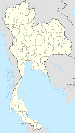 PHY/VTPB Location of the airport in Thailand | |||||||||||
| Runways | |||||||||||
| |||||||||||
| Source: DAFIF [1] [2] | |||||||||||
Phetchabun Airport( IATA : PHY, ICAO : VTPB) is in Amphoe Lom Sak, Phetchabun province in Northern Thailand.