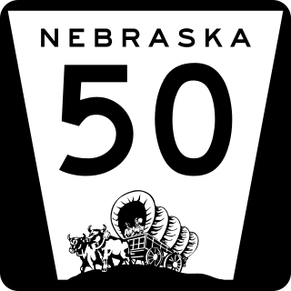
Nebraska Highway 50 (N-50) is a north–south highway in the state of Nebraska. The southern terminus is at the Nebraska-Kansas border near Du Bois. The northern terminus is in the Millard neighborhood of Omaha at an intersection with U.S. Highway 275 (US 275) and N-92. It is a two lane highway except for the section from Springfield north to the southern edge of the Millard neighborhood in Omaha, which is a divided highway.

K-1 is a 13.363-mile-long (21.506 km), north-south state highway in southern Comanche County, Kansas, United States, that connects Oklahoma State Highway 34 (SH‑34),with U.S. Route 160/U.S. Route 183 (US‑160/US‑183).

Nebraska Highway 8 (N-8) is a highway in southern and southeastern Nebraska. Its western terminus is at Nebraska Highway 14 in Superior and its eastern terminus is at U.S. Highway 73 (US 73) in Falls City. It runs through the southern tier of counties in Nebraska and is always within 10 miles (16 km) of the Kansas border.
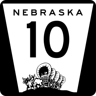
Nebraska Highway 10 is a highway in Nebraska. Its southern terminus is at the Kansas border south of Franklin. Its northern terminus is at an intersection with Nebraska Highway 58, Nebraska Highway 92, and Recreation Road 82B in Loup City.

Nebraska Highway 109 is a highway in eastern Nebraska. Its southern terminus is at U.S. Highway 77 and Nebraska Highway 92 at Wahoo, Nebraska. Its northern terminus is at U.S. Highway 77 near Fremont, Nebraska.

Nebraska Highway 11 (N-11) is a state highway in central and northern Nebraska, United States. Its southern terminus is at Interstate 80 (I-80) south of Wood River. Its northern terminus is at the South Dakota border north of Butte. The highway goes through the eastern portion of the Sand Hills.

Nebraska Highway 99 is a highway in southeastern Nebraska. It has a southern terminus at the Kansas border south of Burchard and just north of Summerfield, Kansas. Its northern terminus is north of Burchard at an intersection with Nebraska Highway 4. It lies entirely in Pawnee County. It is a part of a three-state "Highway 99" which includes K-99 in Kansas and Oklahoma State Highway 99.
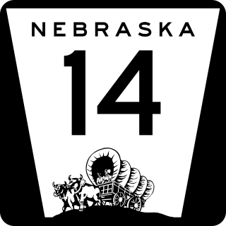
Nebraska Highway 14 (N-14) is a highway in the U.S. state of Nebraska. It has a southern terminus at the Kansas border, where it continues south as K-14, southwest of Superior and a northern terminus east of Niobrara at the South Dakota border.

Nebraska Highway 15 (N-15) is a highway in eastern Nebraska, United States. It has a southern terminus at the Kansas border south of Fairbury and a northern terminus northeast of Maskell at the South Dakota border.

Nebraska Highway 17 is a highway in southwestern Nebraska. It has a southern terminus at the Kansas border south of Culbertson and a northern terminus in Culbertson at an intersection with U.S. Highway 6 and U.S. Highway 34. The highway extends into Kansas at its southern terminus via K-117.
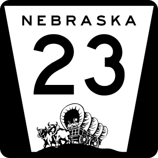
Nebraska Highway 23 is a 159.91-mile (257.35 km) highway in southwestern Nebraska, United States. Its western terminus is on the Colorado border at Venango, where the highway continues west as Colorado State Highway 23. The eastern terminus of NE 23 is at Holdrege at an intersection with U.S. Routes 6 and 34.

Nebraska Highway 25 is a highway in southwestern Nebraska. It runs for 87 miles (140 km). Its southern terminus is at the Kansas border south of Trenton. Its northern terminus is at U.S. Highway 30 in Sutherland.

Nebraska Highway 27 is a highway in Nebraska. It is divided into three segments. The southernmost segment begins at the Kansas border and goes north to Haigler. The middle segment begins at Interstate 80 near Chappell and goes north to Oshkosh. The northernmost segment begins at Ellsworth and goes north to the South Dakota border.

Nebraska Highway 32 is a United States highway in Nebraska. It runs for 101 miles (163 km) through east central and eastern Nebraska. Its western terminus is at Nebraska Highway 14 in Petersburg. Its eastern terminus is at U.S. Highway 75 in Tekamah.

Nebraska Highway 51 is a highway in eastern Nebraska. It has a length of 36.63 miles (58.95 km) and runs from west to east. It has a western terminus at U.S. Highway 275 northwest of Wisner and an eastern terminus at the Burt County Missouri River Bridge at the Missouri River in Decatur.

K-148 is an 86.665-mile-long (139.474 km) state highway in the U.S. state of Kansas. K-148's western terminus is at K-28 north of Randall and the northern terminus is a continuation as Nebraska Highway 112 at the Nebraska state line. K-148 is signed as east–west its entire length although the last roughly 20 miles (32 km) runs north–south. Along the way K-148 intersects several major highways including U.S. Route 81 (US-81) east of Norway and US-36 south of Hanover. The highway travels through mostly rural land and small unincorporated communities, however it does pass through the cities of Agenda and Barnes.
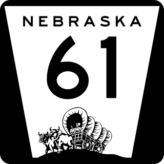
Nebraska Highway 61 is a highway in western Nebraska. It is a north–south highway with a length of 234.82 miles (377.91 km). The southern terminus of Nebraska Highway 61 is at the Kansas border south of Benkelman, where the highway continues south as K-161. The northern terminus is at the South Dakota border north of Merriman, where the highway continues north as South Dakota Highway 73.

Nebraska Highway 97 is a highway in western Nebraska. It has a southern terminus north of North Platte at an intersection with U.S. Highway 83. The northern terminus is at U.S. Highway 20 in Valentine.

Nebraska Highway 78 is a highway in southern Nebraska. It has a southern terminus at the Kansas border where it continues from K-28. Its northern terminus is at an intersection with Nebraska Highway 4 west of Lawrence.

Nebraska Highway 137 is a highway in northern Nebraska. Its southern terminus is at U.S. Highway 20 in Newport. Its northern terminus is at the South Dakota border where it continues as South Dakota Highway 47.

